Part 1
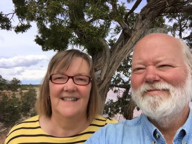
Santa Fe is one of our favorite places to visit. We first visited in 1980 and have come back every few years ever since, this visit is our tenth as best we can remember.
We like the high desert (7,000 ft), the location, the colors, the really nice people, the art and don’t forget the food.
Santa Fe is about 60 miles north of Albuquerque. Going towards the north the elevation rises toward Santa Fe and then descends further north. From Santa Fe heading east or west you will generally go up. So, Santa Fe is in a sort of geologic saddle.
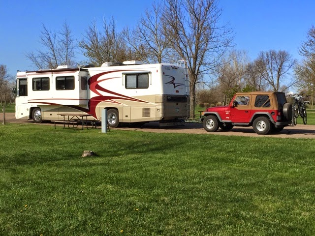
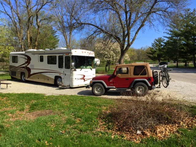
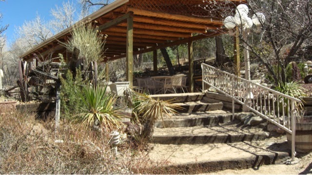
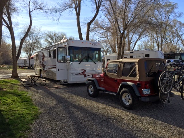
There are three campgrounds in or very near Santa Fe. One is on the south end of town in a rural area. We stayed there two years ago. It was nice but it was about 10 miles into the heart of old Santa Fe, the Plaza. Four years ago we stayed at Trailer Ranch on Cerrillos Rd. It has been around since the 1950s as a place for early travelers with RV trailers to stop. Today it is about 1/2 mobile homes for seniors and 1/2 an RV park for adults, no kids. The third is Los Sueños RV Park right across the street from Trailer Ranch. We tried this one this time. None of these are fancy. They have the basics. Los Sueños was back from the road so it was quiet at night. Most of the time we were there it was less that 1/2 full. The best part of these two campgrounds on Cerrillos is that they are on the bus line. And the #2 bus goes right to the Plaza. And it is $1 for a senior all day bus pass. The bus ride to the Plaza took about 20 minutes. It would have been nearly impossible to drive to near the Plaza, find parking and walk in the same time and it would have cost far more than $1. Riding the bus gives you time to look at what you are going by.
Cerrillos Road back in the 1950’s was a two lane New Mexico highway leading to Santa Fe. Today it is a busy major N/S route, 3 lanes in each direction, from the older part of Santa Fe to everything that has been developed since then to the south. There are major shopping centers, every imaginable big box store, auto dealers and more. And houses everywhere.
When we first came to Santa Fe 35 years ago most of this was still rural with scattered homes and small acreage sites. Land was reasonably cheap from our MN perspective then and housing was affordable. We thought about moving here but there were a lot of strings still attached in Minnesota.
So here we are once again in a place we find engaging and fun and feels very comfortable to visit. We have been here enough that it only takes a day or so to remember how the streets run and how to navigate in the historic old part of town.
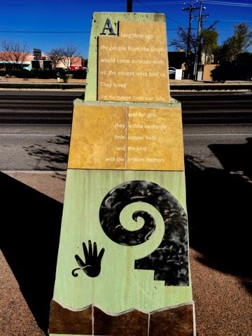
Many Bus Stops have historical markers that talk about the roots of the people and the places they mark. Across the road the Trailer Ranch bus stop talks about the early visitors that came on Rte. 66.
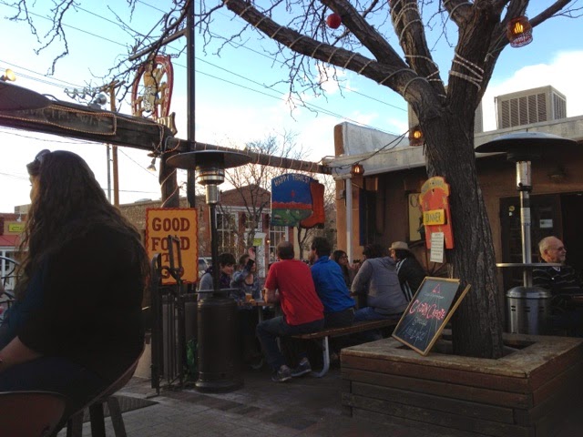
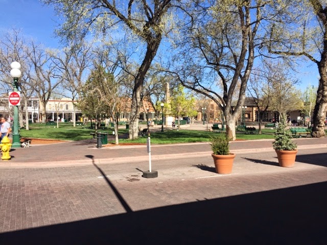
As in many SW towns the Plaza is the center of town, the center of life in town and the gathering and meeting point in town. Early in the morning the Plaza is a pretty calm place. By mid day, everyday, it is full of people, full of the life and spirit of Santa Fe.
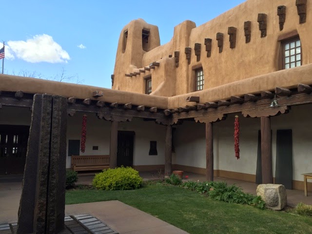
On one side of the Plaza is the Palace of the Governors. That building has been the seat of government in one form or another for about 400 years. Santa Fe has been a Capital City for more than 400 years. The only city older in the US is St Augustine in Florida but only about 20 years.
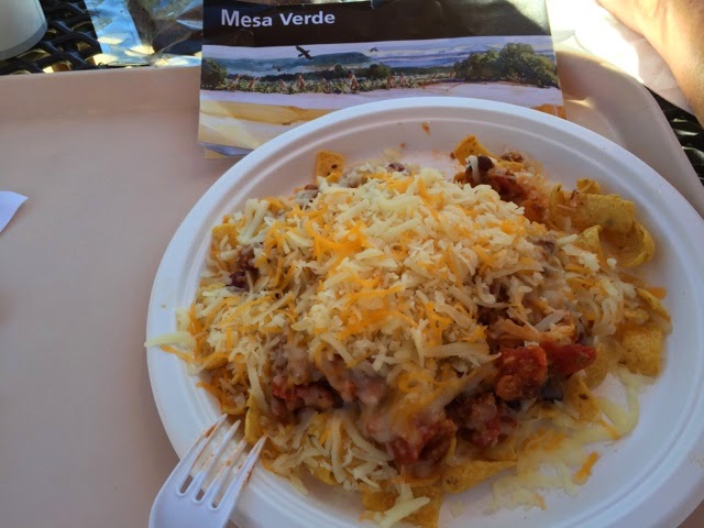
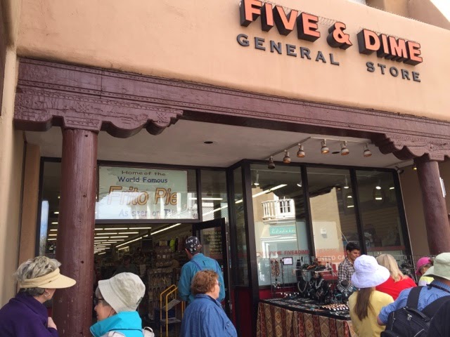
One corner of the Plaza has a Five and Dime that is famous for Frito Pie. It is a bag of Fritos cut open and filled with Chili served with a spoon. Most everything is this store is much tourist oriented
 .
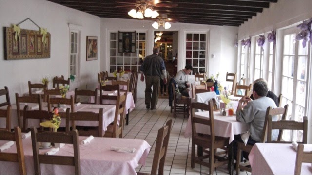
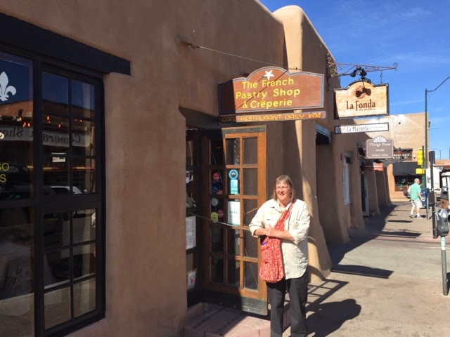
.On the other corner the La Fonda Hotel offers very nice accomodations, a variety of shops and three spots to eat from fine dining to one of our favorite spots, the French Pastry Shop. The La Fonda has been there since 1929 and was part of the Fred Harvey hotel system for a long time. It is now privately owned but retains all of the color and texture of a familiar SW hotel.
Over the years we have had breakfast, second breakfast, lunch, late lunch, coffee and a pastry or just coffee here. This bakery was part of the original hotel and has been owned by the same family for more than 40 years.
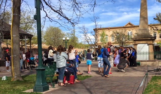
The Plaza comes alive during the day. There are food vendors cooking fajita, lots of folks selling jewelry in front of the Governor’s Palace and across the street, usually somebody playing a musical instument with a hat out and lots of people to watch. We were there on a Saturday, it must have been Prom day at the High School since there were quite a few young ladies in lovely dresses trying to walk in extrodinarily high heeled platform shoes and constantly adjusting this part or that in what were obviously not their normal clothes. Lots of posing for pictures. A big white limo full of one bunch, a big black limo full of another. Not sure if that means anything. There was a fire truck there too. The firemen were giving out plastic firemens hats to little kids who were getting their pictures taken next to the fire truck. A police car was there too and the two cops were taking off their bikes from the rack and suiting up for a bicycle patrol.
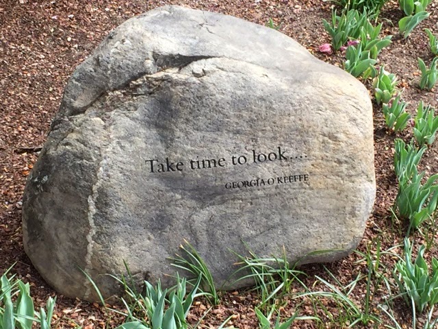
The Plaza is a place where people meet and relax, take some time out and savor the day. There is so much to see, places to visit, museums to absorb, art to imagine owning and life going on here in Santa Fe and the Plaza helps us to remember to slow down and enjoy the moment.
We stayed in Santa Fe for 12 days, our longest visit yet and when we left we knew there was more to come back for.
More later.
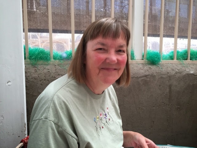
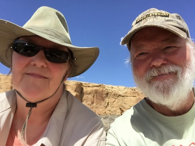
Susan and Roger