The way home, End of April 2017

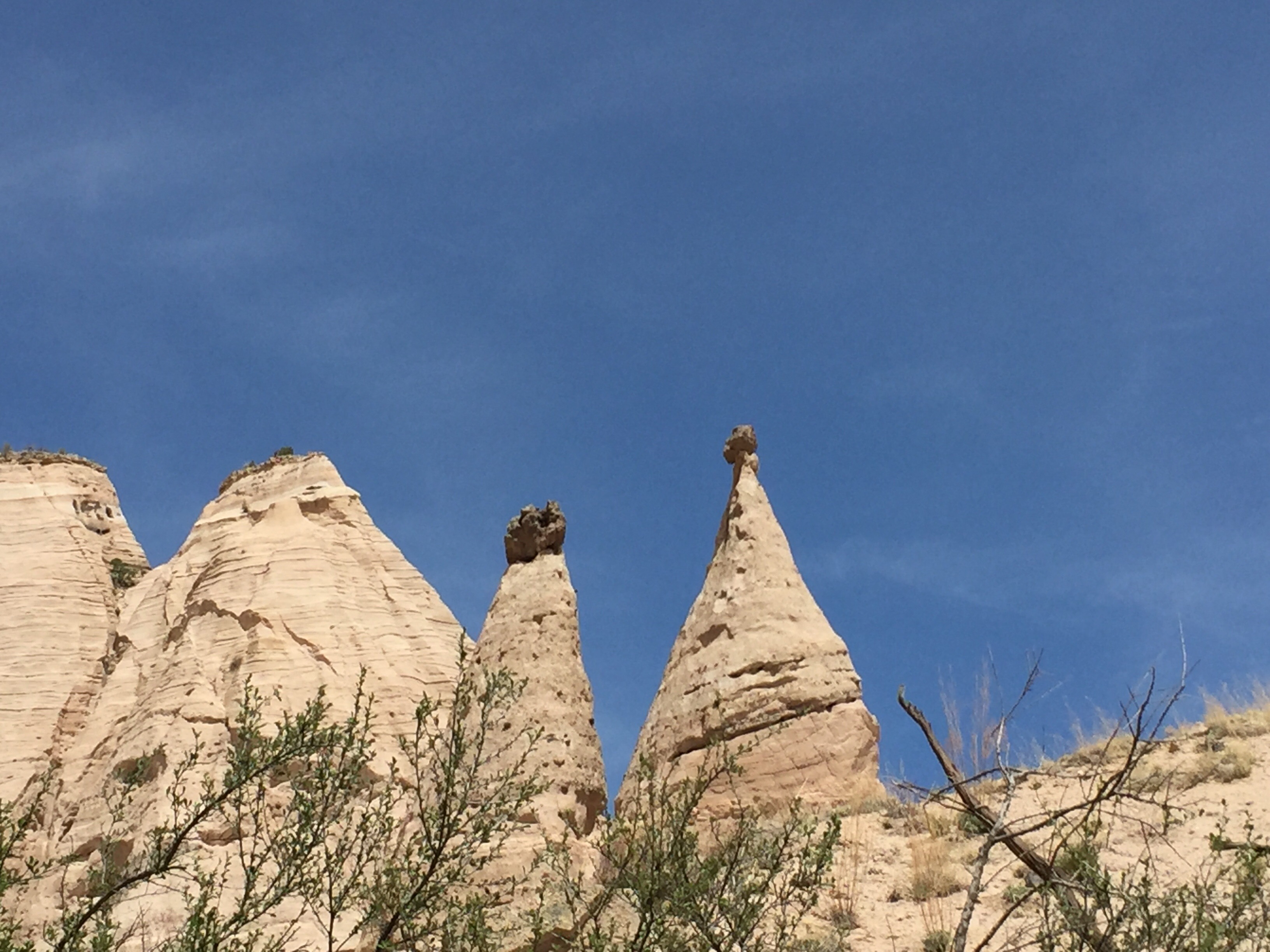
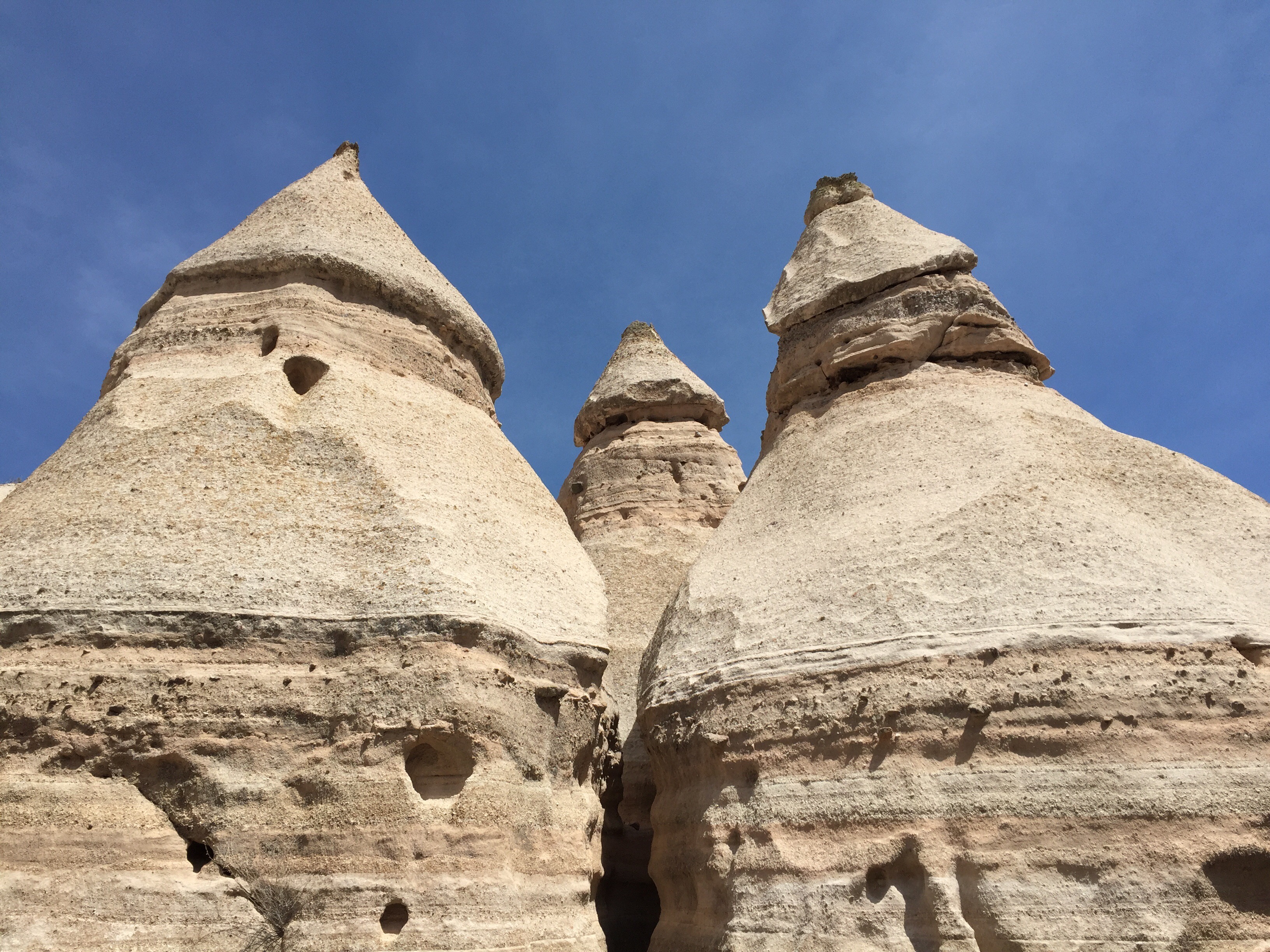
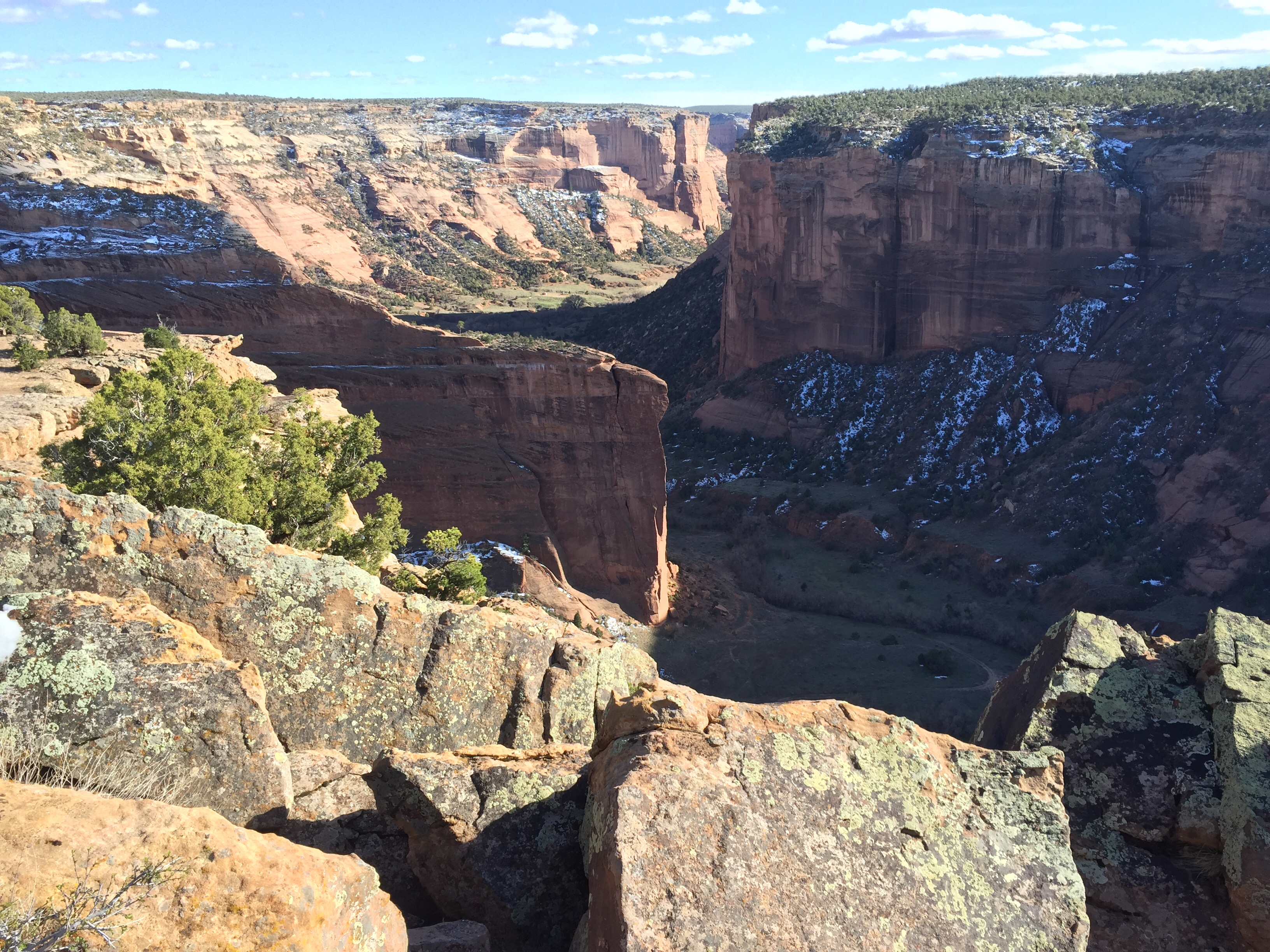
We thought about several different routes from NM to MN.  Maybe I40 through Albuquerque through Amarillo and Tulsa to Kansas City and then north.  Maybe the same way but over to Fort Smith and then North.  Maybe I25 through Raton Pass and up to Colorado Springs, then east on I70 and then north to I80 and then east.

We checked on the toll road bypass around Denver but it is almost $100 for a motorhome and a tow car.  Much cheaper if they are driven separately.  

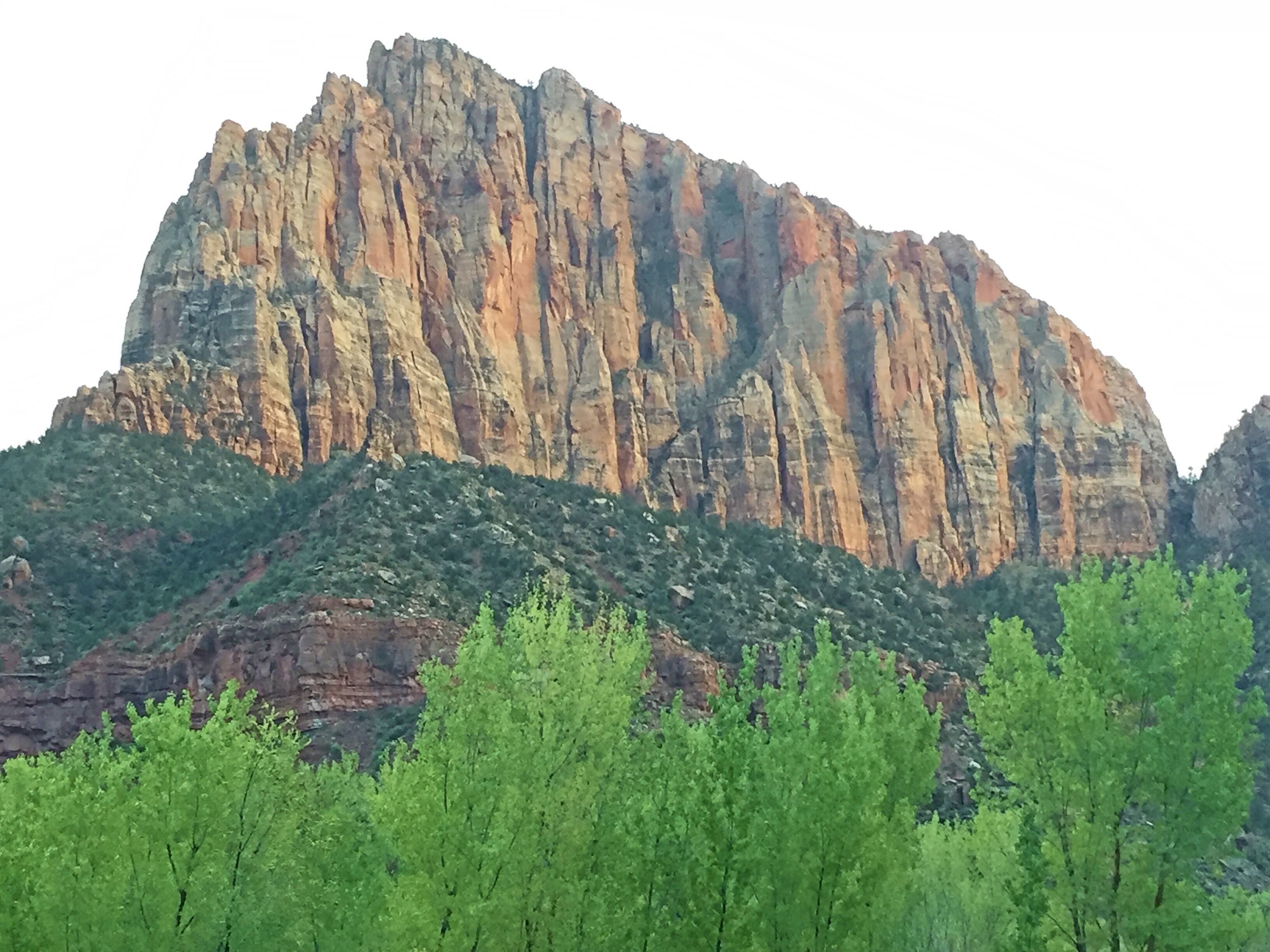
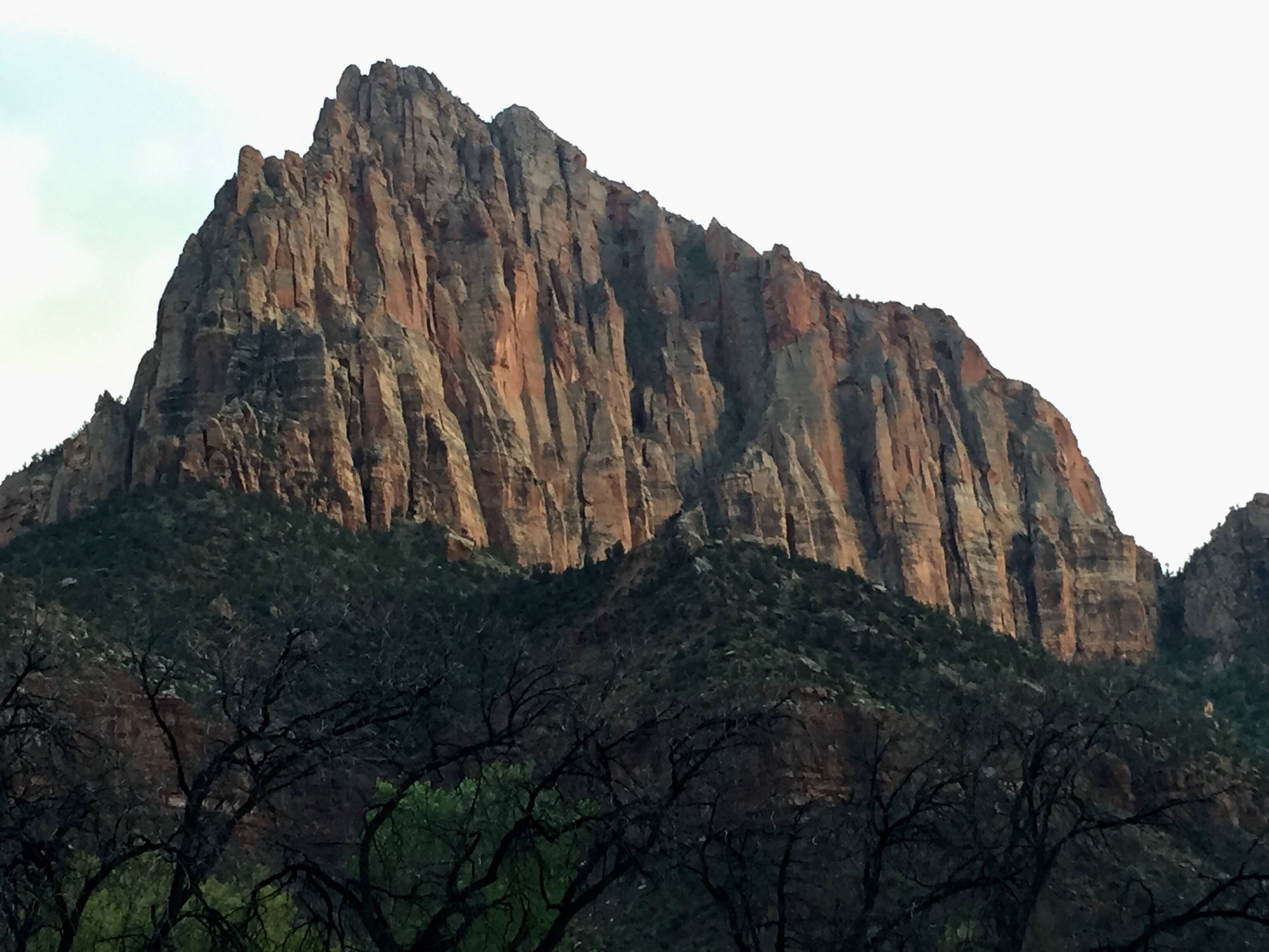
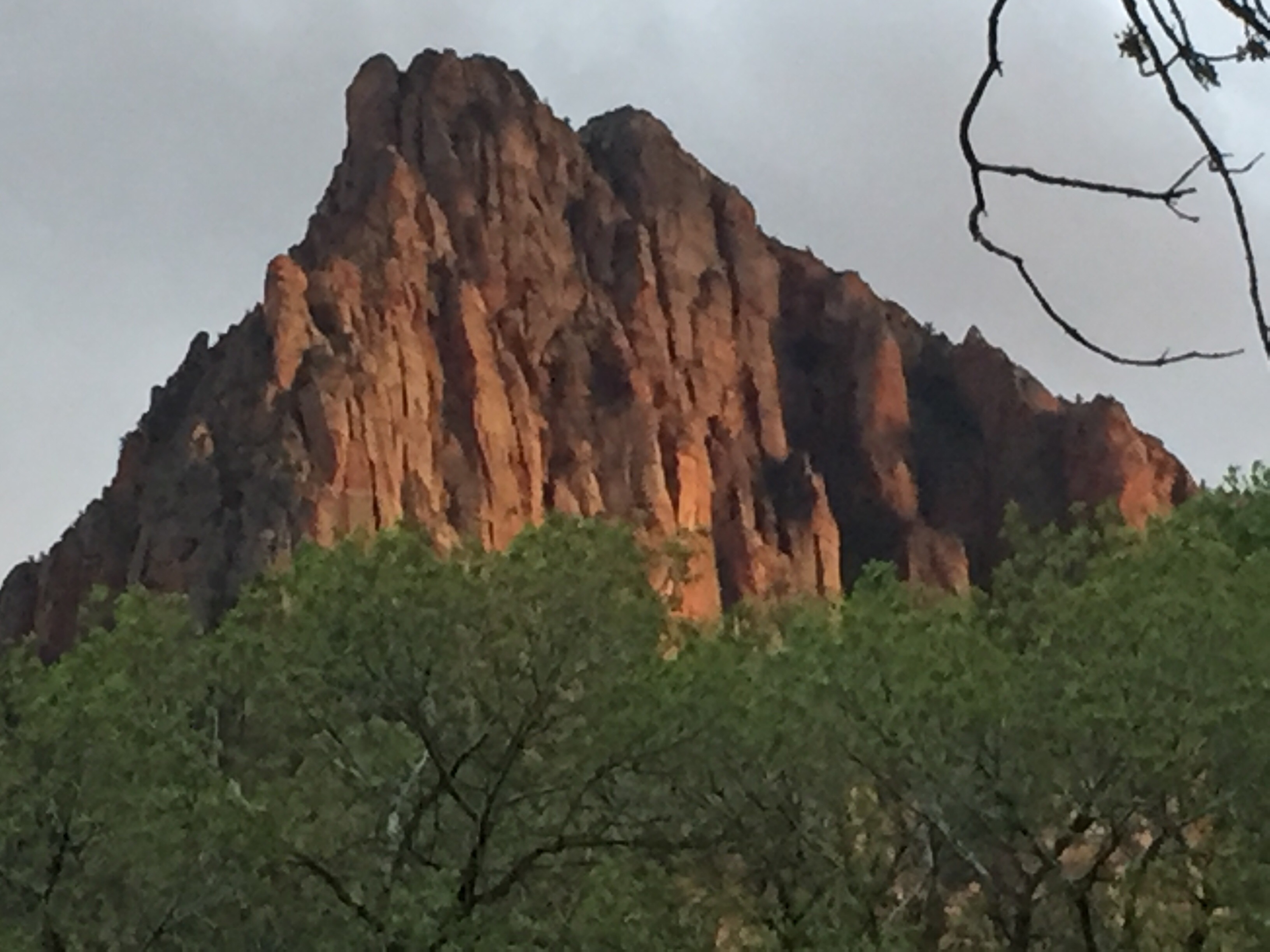
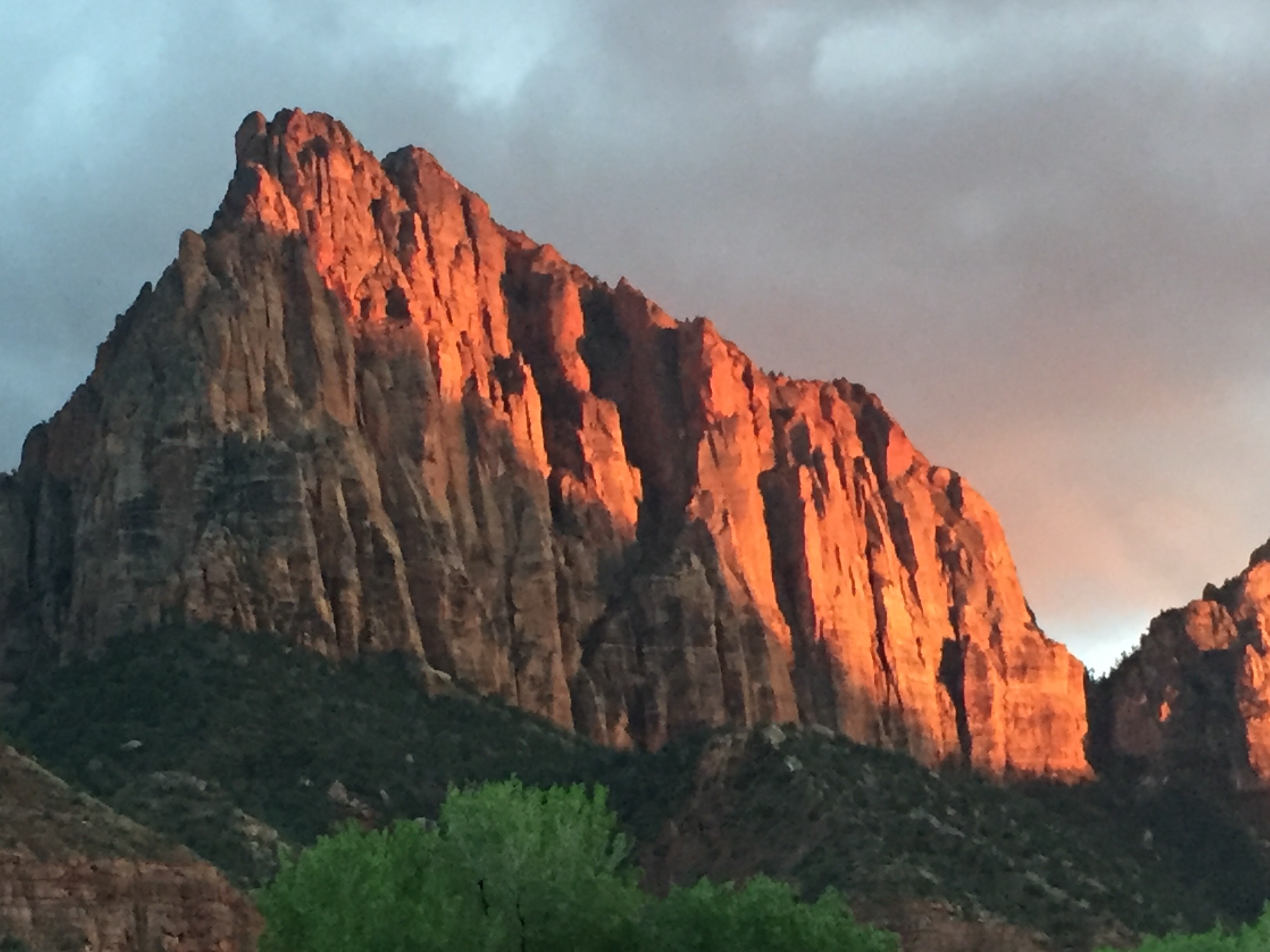
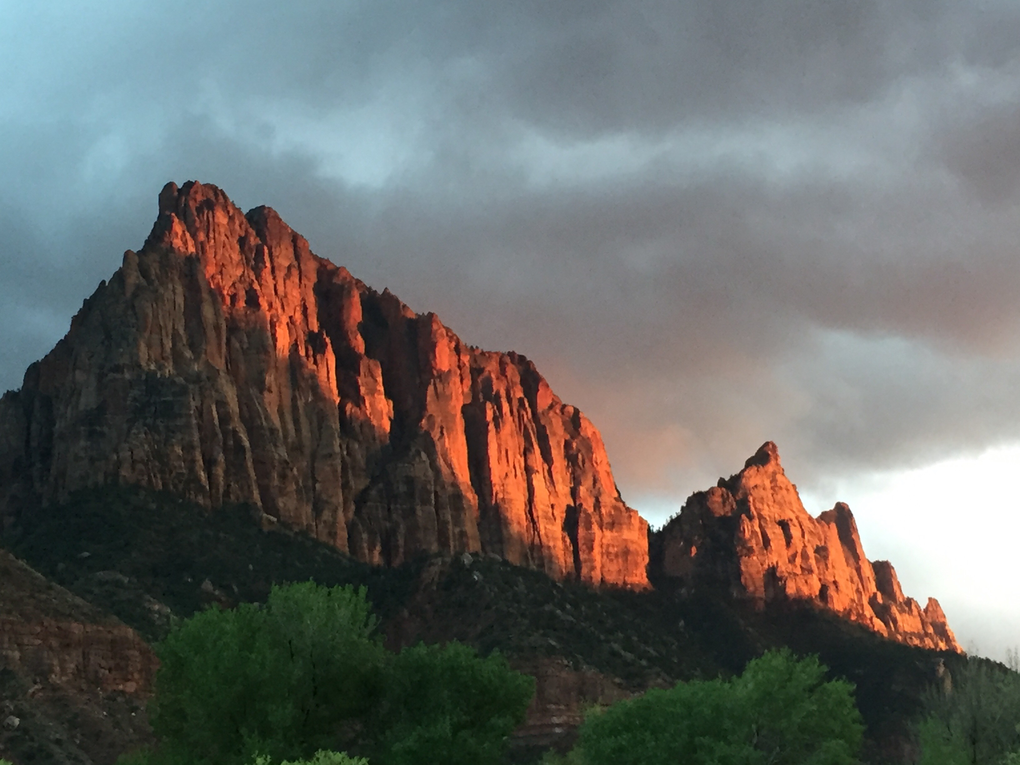
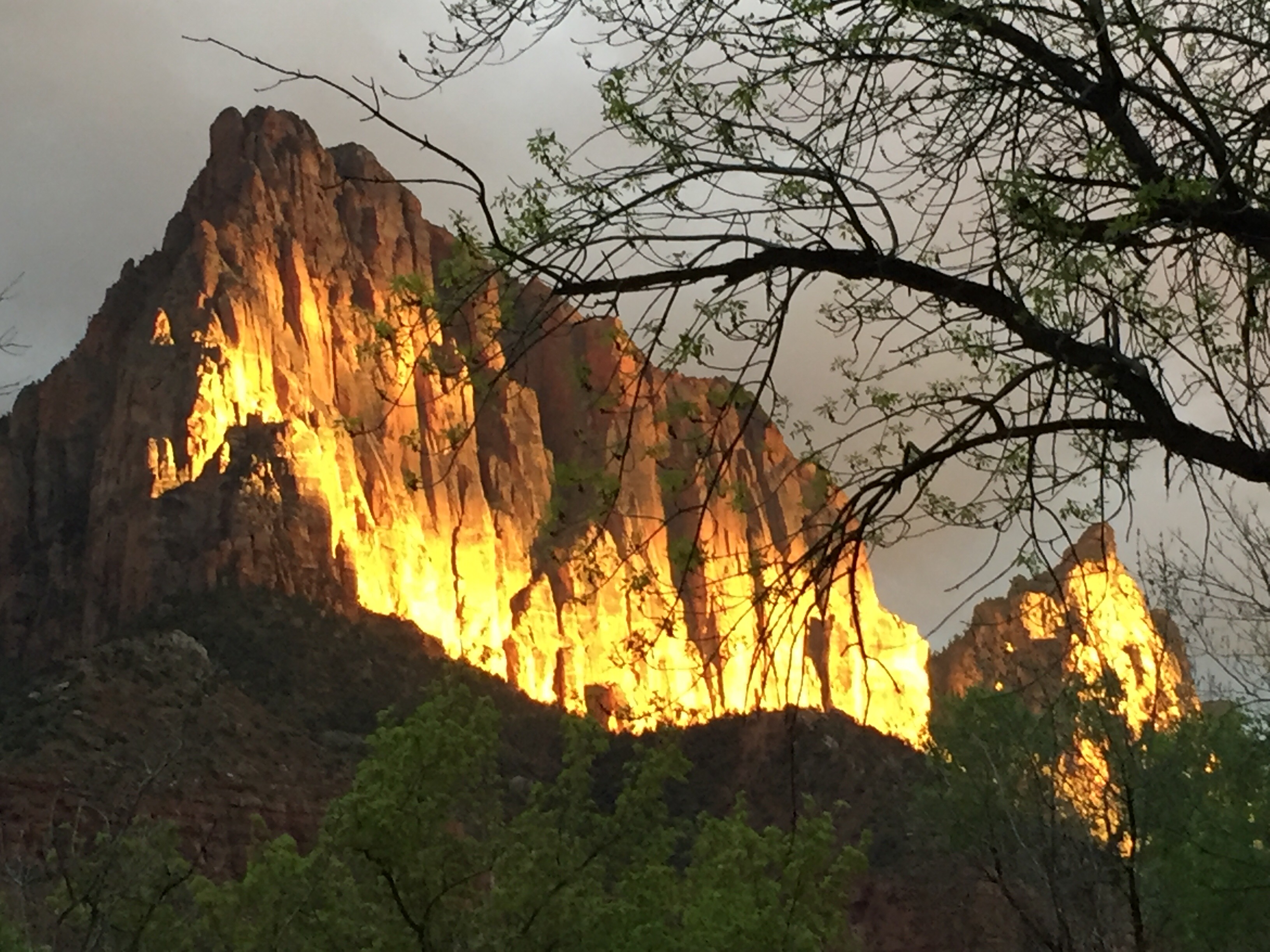
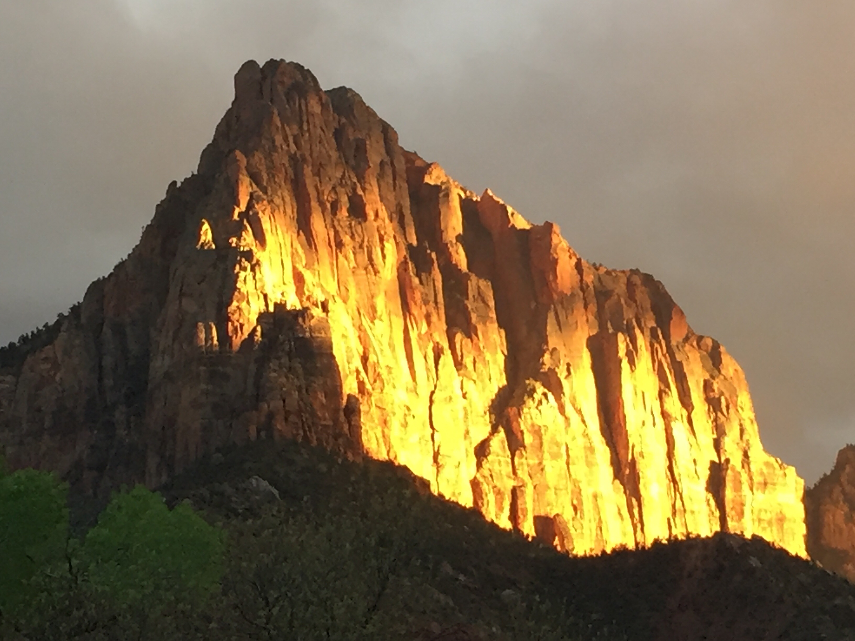
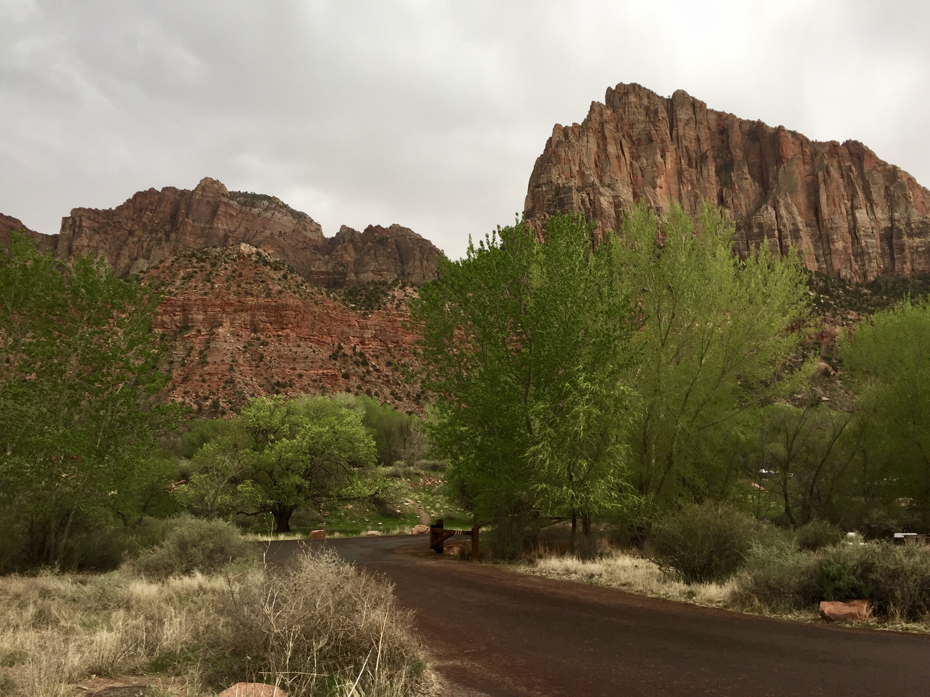
And weather was an issue. So we went for the I25 through Raton Pass route.  This is the fourth time through there for us in the coach, pretty easy as mountain passes go. And then up towards Colorado Springs. This was a long day.  We stopped at a Walmart.  Did a few laps around the inside of the store and an early night.  The next day we did a diagonal from Colorado Springs to I70 and then east for about 150 miles and then north on US 385 to I76 and then east to I80 and Ogallala, Nebraska.

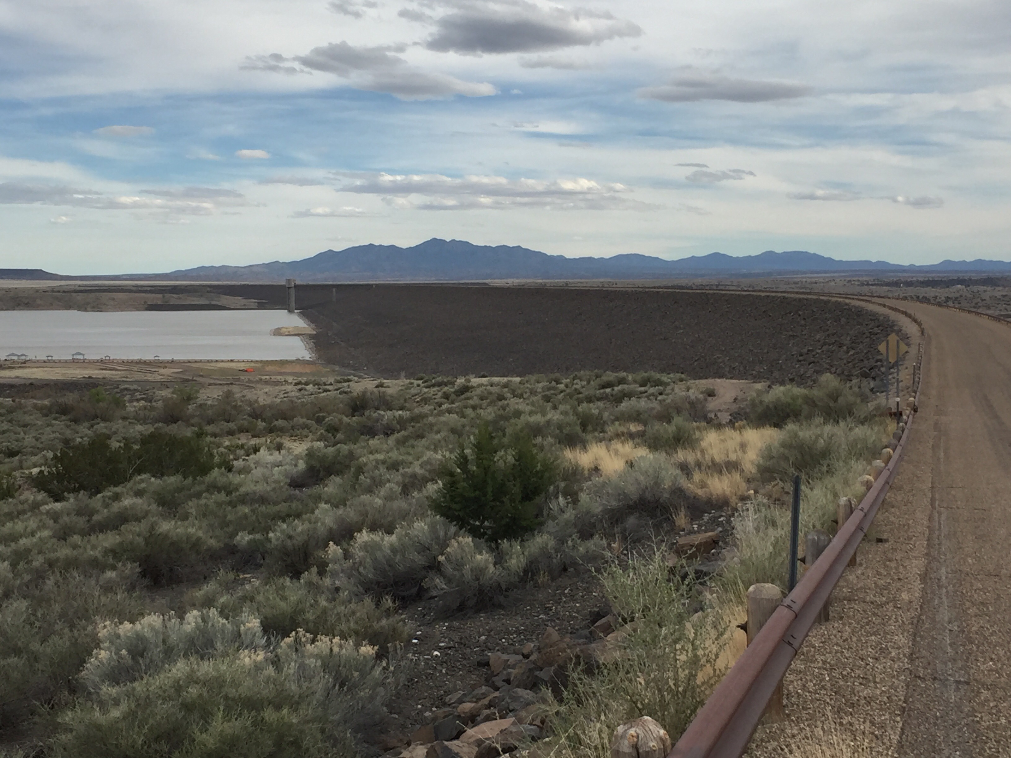
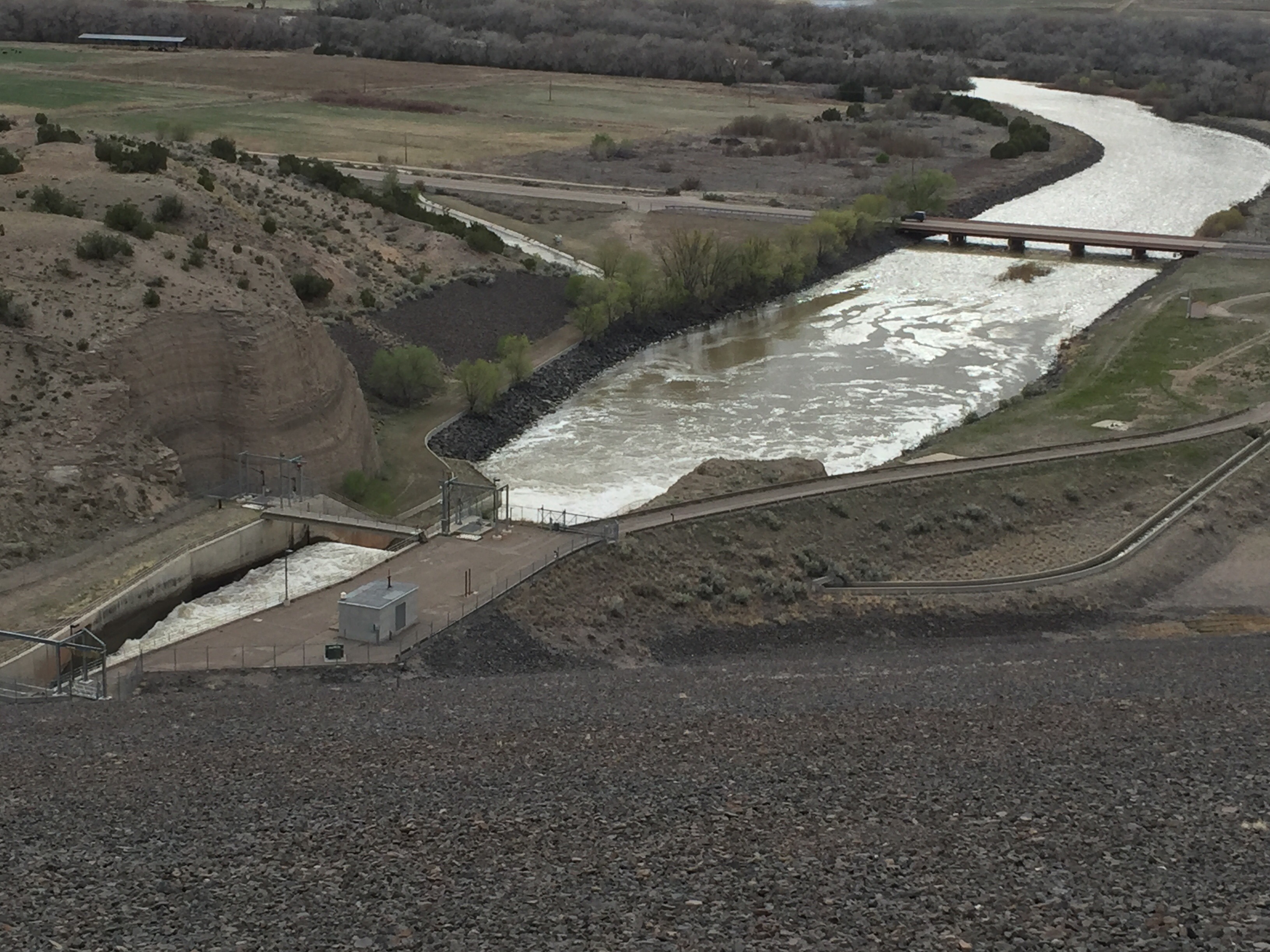
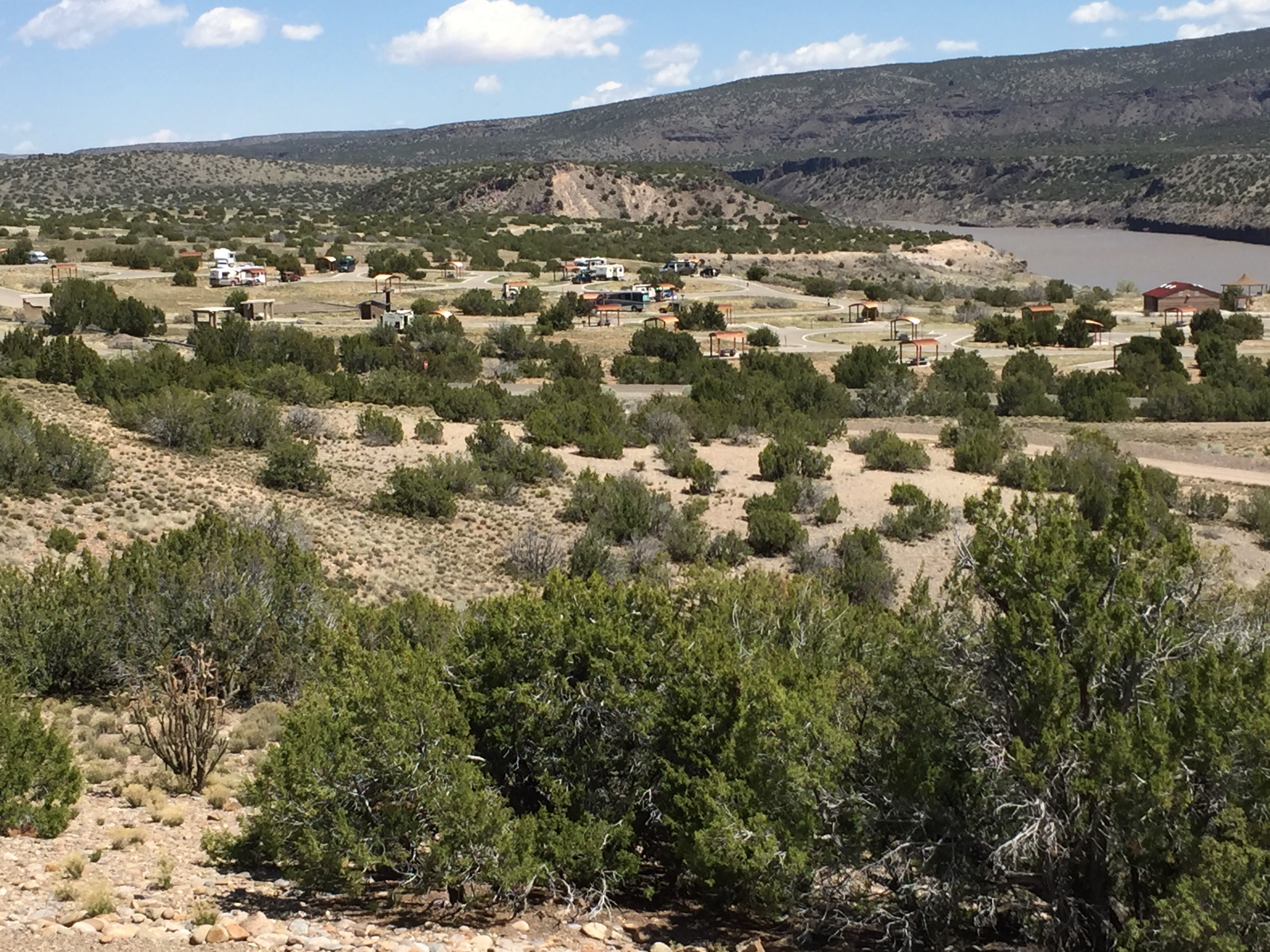
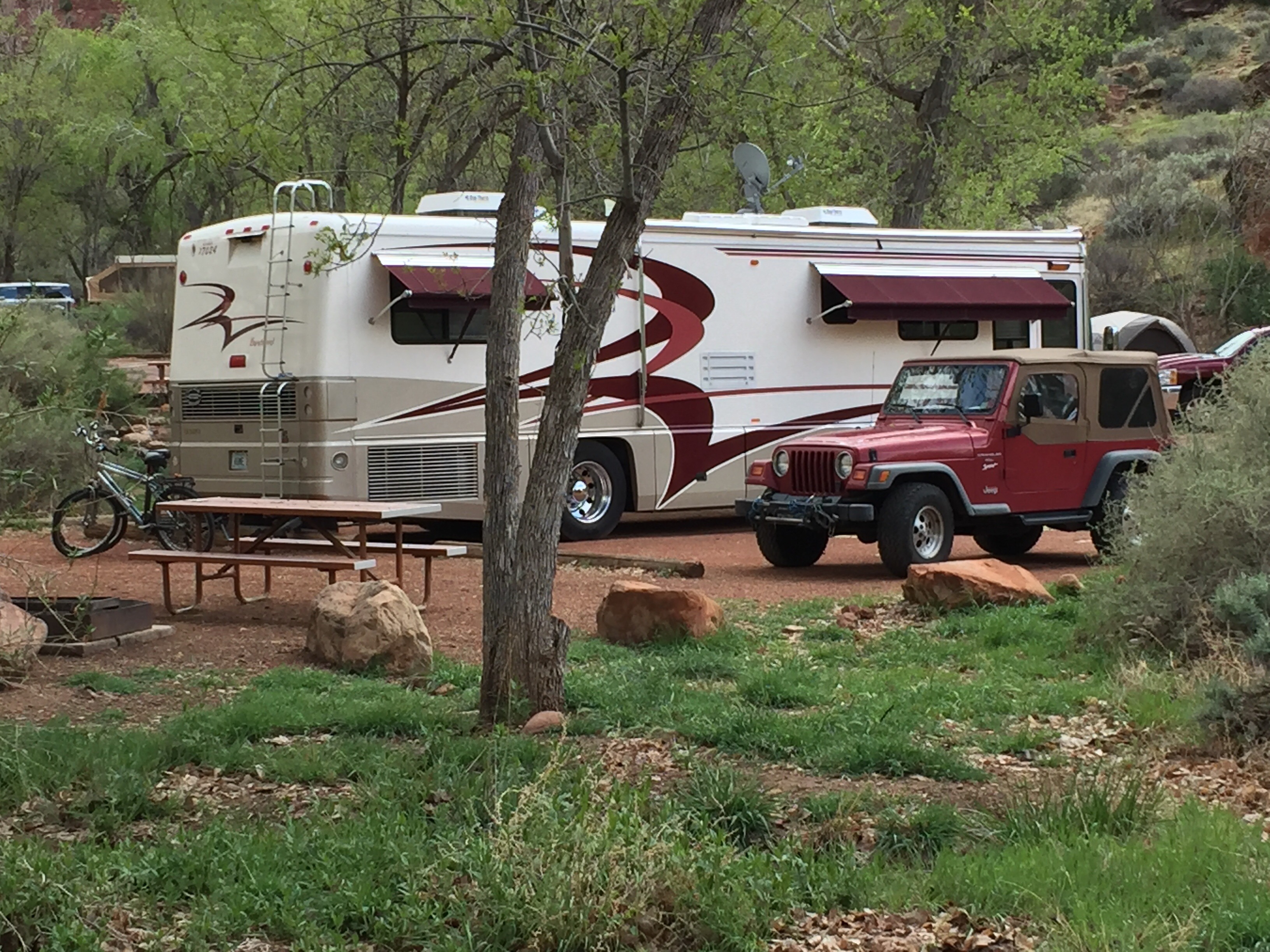
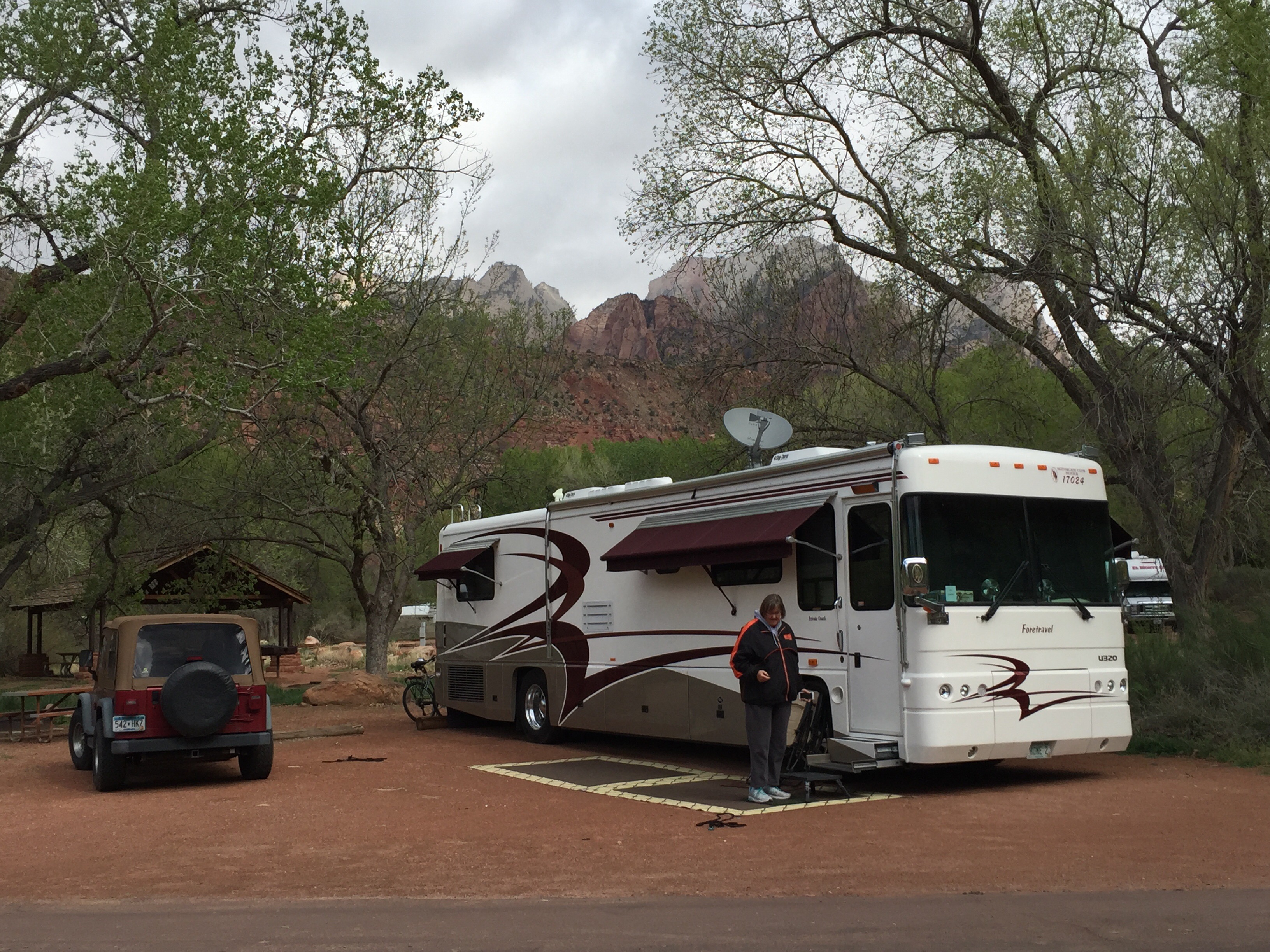
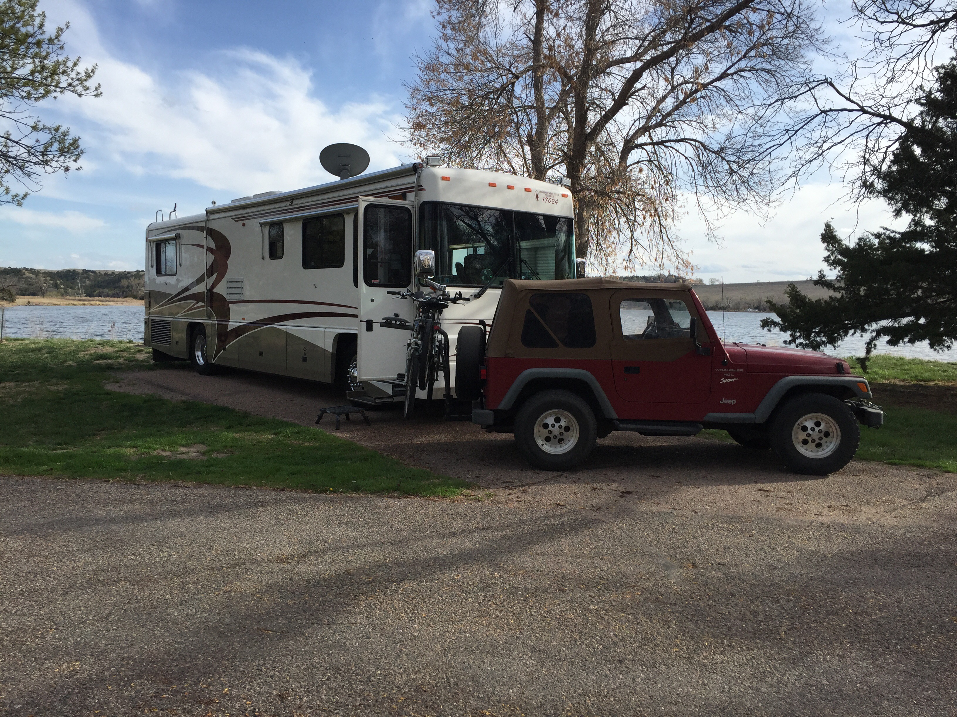
We stayed at Lake McConaughy State Recreation Area just downstream from a big dam. It was nice and quiet. The Nebraska SRAs are about $27 a night so it is not a cheap overnight but even at a “free” overnight at Walmart we almost always end up spending something there.  

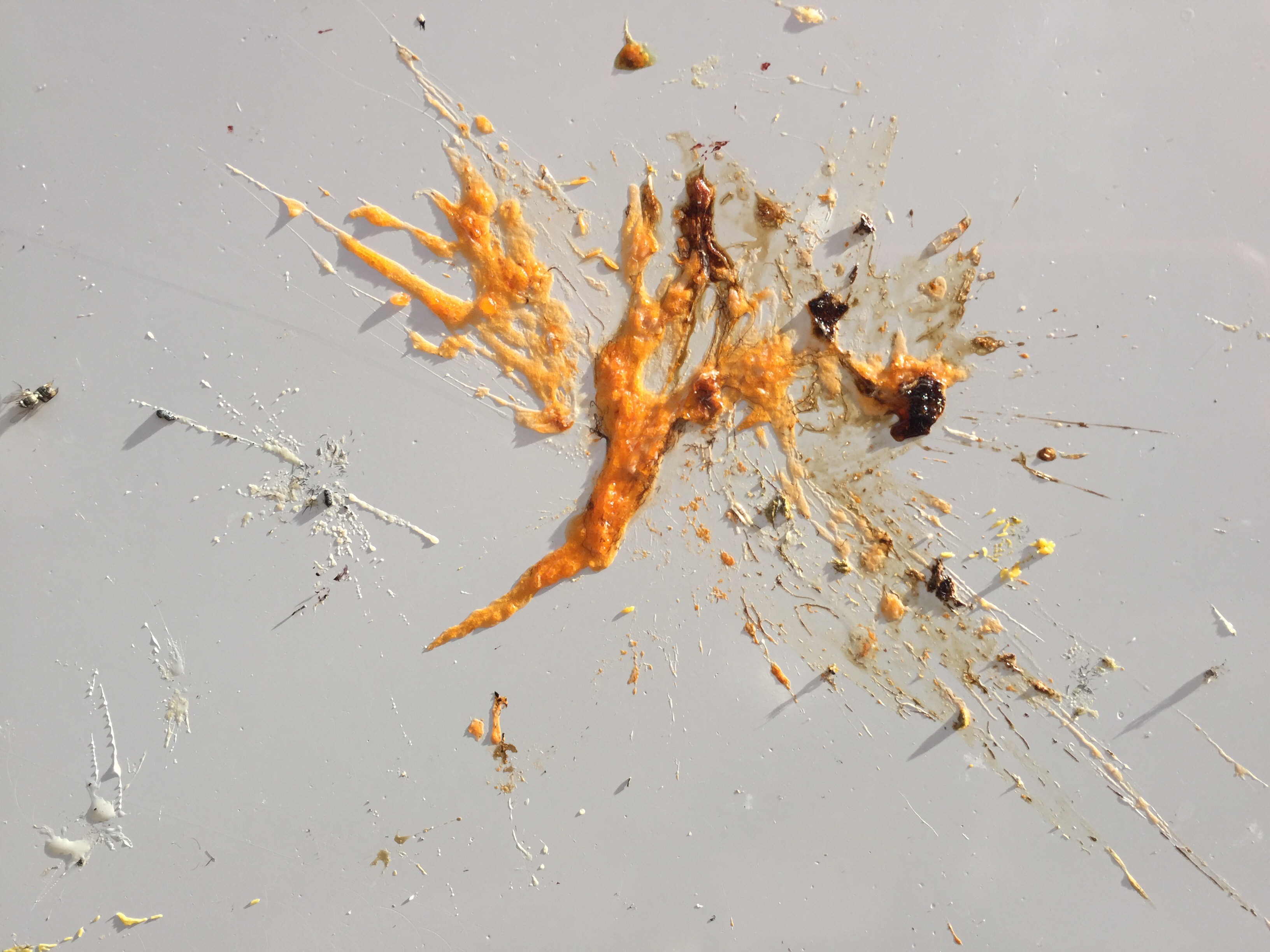
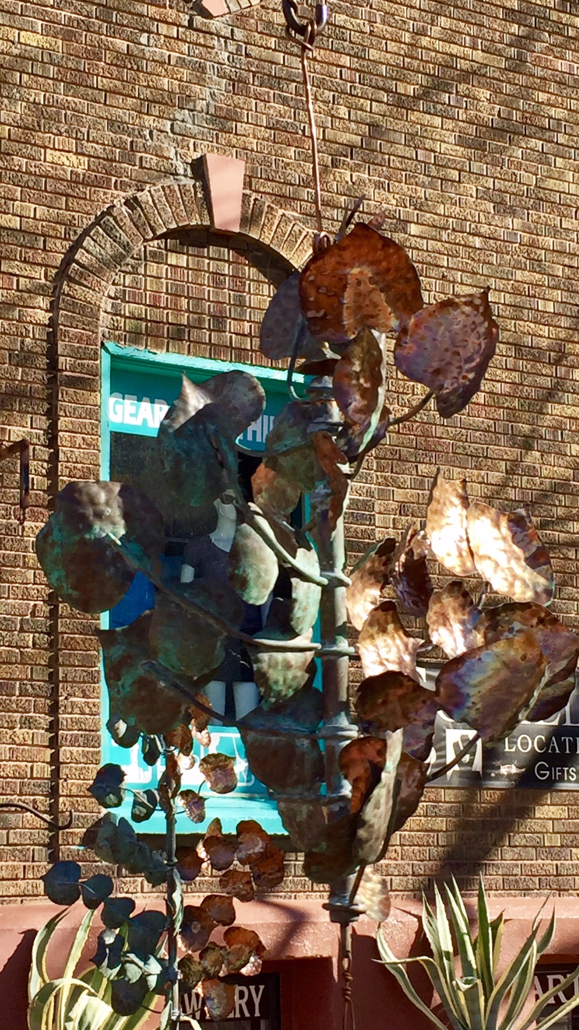
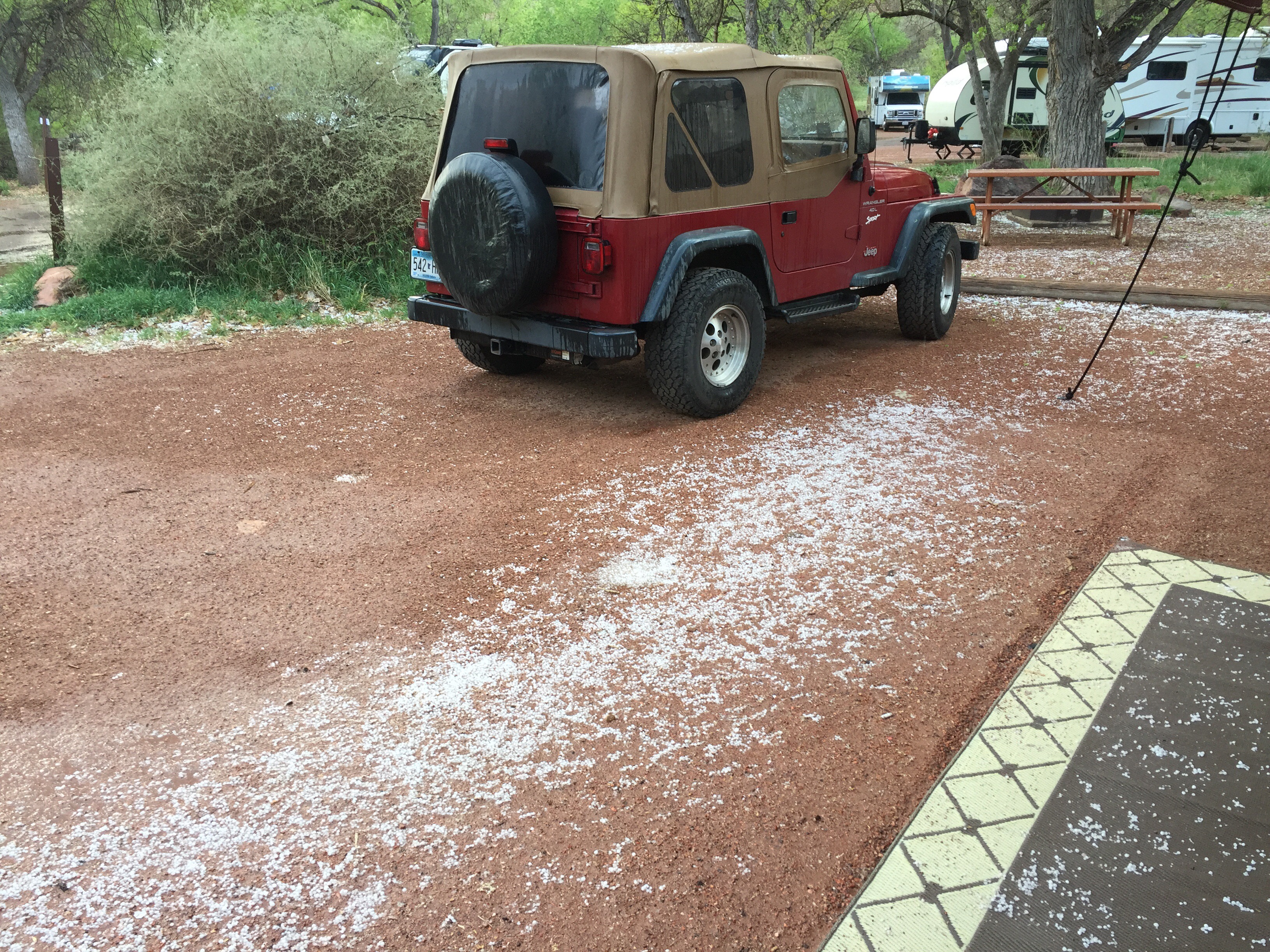
Is it art? A four inch Jackson Pollock? No! Bugs! At every stop we have a de-bugging activity.  These were some of the biggest splats I have ever seen … and multicolored as well. We are very regular users of WaxWashAll, a product for cleaning and polishing the coach. A by product is that bugs come off easier.  Good thing.

The next day we drove all the way across Nebraska to Neola, Iowa and stayed at the Pottawattamie County Park Campground.  Fifty amp hookups, pull through sites and only $18 per night.  It looked like an old farm that had a small lake. We are starting to see more of these parks for the benefit of the local folks with campgrounds.  And they find that travelers will stop for a fair price.  Good for the community. 
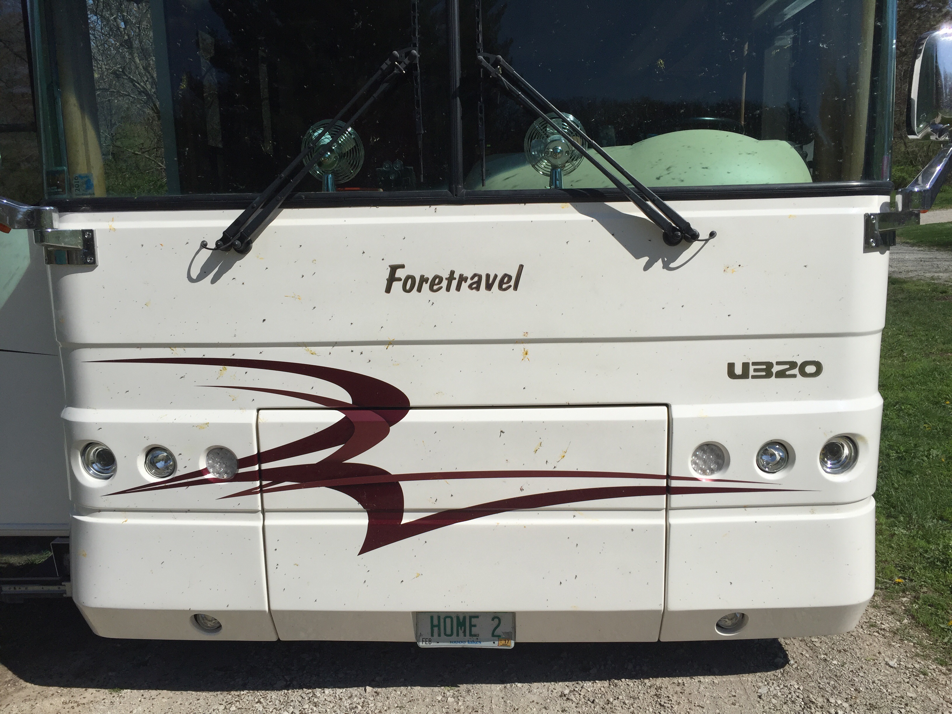
And there were the Nebraska variety of bugs to clean.

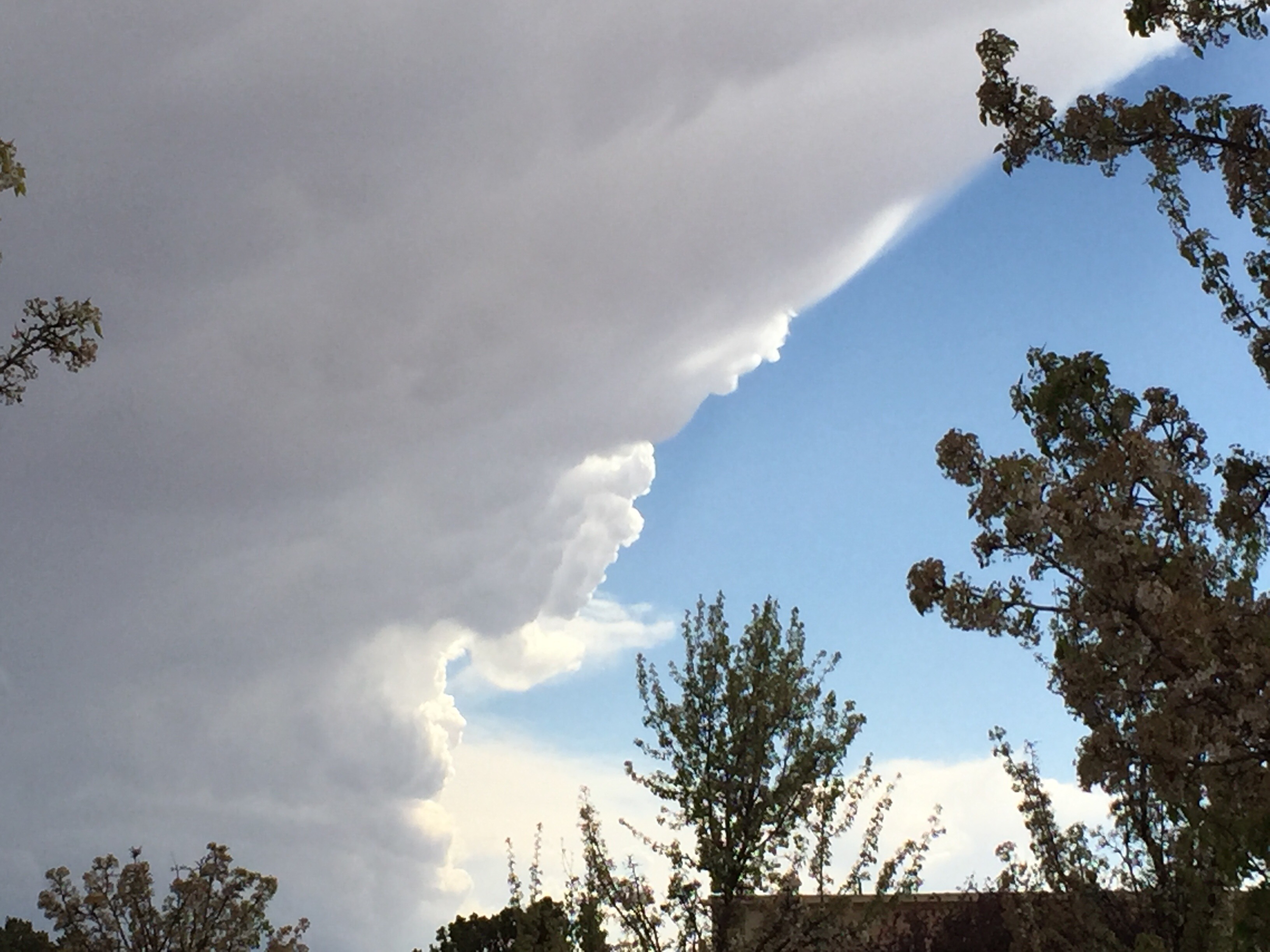
Weather was following us. Rain was coming.  We headed off toward home.  

We were having an intermittent pin lock fault on the slide when it was retracted. The pins were engaged, there are two sensors that signal that each pin is in place.  One or the other sensor on one pin is sometimes malfunctioning.  When this fault occurs it prevents the transmission from engaging.  There is a work around to keep on the road.  So I thought we could stop at HWH, the company that makes the slide system, near Moscow, Iowa and see if I could get some help.  I knew they were busy but when we got there the Senior Technician talked to me about what was going on, described where the potential problems might be, showed me how to verify that the pins were locked, showed me where to look for wiring faults in the sensor and gave me the part numbers for all of the parts that might need to be replaced. And he was on his lunch break. No charge. These guys are great.  

It was just after noon so we headed for home. Pretty rotten roads going north through Waterloo towards Rochester and then up 52. It rained, we drove through that and got home about 5:30.  We backed into the coach house (barn) and unloaded just enough to get in the house, make something for supper and start the process of being home including piles of mail.

It is always odd returning, the space feels large, things are not always where we think they are.  We wake up much earlier. And there seems to be an immense list of things to do. Life accelerates, hard to control.  But we are OK. Glad to be home.  Back to familiar things for awhile until we are, once again, elsewhere.

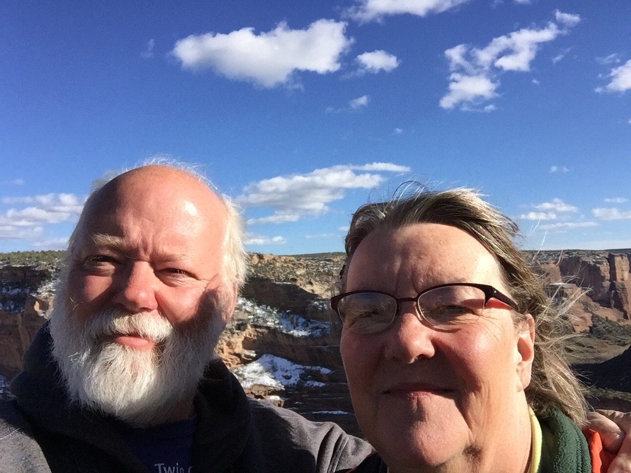
So, we are officially home.  

More later,

Roger and Susan

Santa Fe, NM, April, 2017

Santa Fe feels like home to us.  We have been coming here since 1980, every two to three years or so.  We have stayed at every campground in town in our coach or in our van camper. We have stayed at two different Bed and Breakfast places. We have stayed twice at the Campanilla Compound with very comfortable town houses for rent.  

Santa Fe is an old city. It has been a Capital City for more than 400 years.  It competes with St Augustine, FL for the oldest city bragging rights but the claimed dates are within months of each other.  There is real history everywhere here. 

This time we are staying at Cochiti Lake COE campground about 30 miles south of Santa Fe. We have been here before. It is comfortable and inexpensive and with a park and ride on the commuter rail into Santa Fe only five miles away,  it seemed like a good place to stay again.

We got to ride on a train.  Sheldon was so envious.


Here comes the train. Right on time.  The trains run all day long, more in the morning and later afternoon.  They start about 5:30 in the morning and run until about 10 at night.  They connect Albuquerque and Santa Fe. There is a stop at the State Capital and at the train station next to the Farmer’s Market.

Big shiney double decker rail cars.  You can buy tickets on line or on your phone or in person on the train.  

Round trip from Kewa Pueblo to the Train Station in Santa Fe is only $3 and it includes an all day Santa Fe bus pass.  Our first trip was on a Wednesday.  The big smiles were because on Wednesdays Seniors ride free.  Whee!  We rode the train into town this day and once more.

It is a short walk from the train station to the Plaza, the heart of Santa Fe.  And right off the corner of the plaza in the La Fonda Hotel is the French Pastry Shop.  A good stop for lunch.  This family owned shop has been here for more than 40 years. It is in the old bakery and kitchen of the La Fonda.  Most of the hotel was rebuilt in 1922 and was one of the original Harvey Hotels. The La Fonda in one form or another has been here since the 1600’s.


This is a comfortable and familiar place.  We don’t need a map to get around, all of the streets are familiar and our sense of direction still works.

A short bus ride up to Museum Hill got us over to the Wheelwright Museum where a new gallery of jewelry was waiting for us.  It was almost two years ago last time we were here in 2015 but not yet open.  They were letting it air out before moving the jewelry collection in for display.  This is worth seeing. But no pictures.  The collection includes jewlery made by Native Americans since the early 1800’s highlighting the development of techniques and styles all the way up to contemporary masters. We see jewelry on display and for sale almost everywhere but this helps us understand how all of these styles are connected.


In another part of the Wheelwright (where pictures were allowed) I noticed this Apache Womans Tunic. It is even more detailed and stunning than the one we saw at the Heard Museum in Phoenix.

It was windy and much cooler when we came out.  An obvious weather front was moving through.

Another trip into Santa Fe on the train for breakfast at Cafe Pasquals.  It is just down from Burro Alley.

One of the original functions of the Plaza was a place for the burros that did the heavy lifting long ago.  The burros are long gone but are remembered at the end of the narrow lane near the Plaza. 


Cafe Pasquals is a tiny little place that is always busy because the food is good.  It is much more of a locals place than tourist.  But it is both.


It was Good Friday and there were services at many churchs.  Santuario De Guadalupe puts on a Good Friday Pagent.   Jesus, the Cross, Roman soldiers, whips and all.  Huge crowd. 

Art Hunting.

We made another trip up toward Chimayo and then toward Truchas where there are many artists and crafts people.  Weaving, pottery, metal craft, wood working and much more can be found up this way … if they are open.  We stopped for lunch at another one of our favorites, Ranch de Chimayo.  Wonderful!

On a narrow dirt road leading back into a tiny town named Vallé there was a funeral going on at this cemetary established in 1750.

We found a Spanish Colonial Furniture maker who showed us his gallery.  He was a school teacher who started woodworking when he retired. Spanish Colonial is common in this area and he has made some beautiful award winning pieces.  They are made from Ponderosa Pine, locally cut and milled.


This is typical of the style.  Lots of carving and turning. Many have painted details.

There is so much to do in Santa Fe.  We just keep coming back for more.

Time to head for home.  More later,

Roger and Susan

Kasha-Katuwe Tent Rocks National Monument, Cochiti Pueblo, NM, April, 2017

The Kasha-Katuwe Tent Rocks National Monument was created in 2001 and is entirely within the Cochiti Pueblo. It is an odd area  covered with hundreds of feet of soft rock formed by pyroclastic ash flows millions of years ago by eruptions from the Jemez Volcanic Field.  After the softer layers were deposited further eruptions deposited blobs of harder rock  all over this area.  Kasha-Katuwe means “white cliffs” in the Pueblo language Keresan.

Tent rocks are cones of the softer pumice and tuff layers under a hard cap rock.  Everything erodes around the cap rocks leaving canyons and rock formations that look like tents.

Many of the tents are almost 100 ft tall.


We followed a trail leading up into a slot canyon.  In many places it was very steep and only one person wide.

The trail was pretty good,  the steep parts were mostly where you had to climb over piles of rock. 

Water caused all of this erosion. And things will grow where there is some water.  This is one of those places when you are driving out to it that you are sure you will be the only ones there.  But once you get there the parking lots are nearly full and you know that is not the case.  On this hike into the slot canyon there were many going up and many coming back.  There were many times when we just had to wait while folks were going either way.  We met our campground neighbors, Tim and Diane from MN as they were coming down.

One step at a time going up.


And coming down.  We had our hiking poles with us.  There were times when there just wasn’t enough room for them to help.

This was a pretty interesting place.  It was right there. Just take the time to follow the signs and go for a walk.

We got almost to the end of the trail going up the slot canyon.  There was a very steep section just before the end where one person at a time could climb up or down a chaotic rock pile. There were a whole bunch of folks waiting to come down and even more ahead of us to go up.  So we had a sit-down break and some water and headed back down.  Later that evening when Tim and Diane came over for a campfire (no open fires were allowed in the campground but our LP gas fire ring was OK) we admitted we didn’t get to the very end.  They said they didn’t either.  The end of the trail is at the end of the canyon and that was just what you could see from there.  Less congestion and we would probably have gone on but we got close.

Everywhere you turn water is at work, a new slot canyon in the making.  Water and a crack, that is all that is needed.

We are glad we take the time, have the time, to go look at these places.  We were here before and wondered what Tent Rocks were. You have to take those roads less traveled and go see.

The Kewa Pueblo has a commuter rail station.  The train goes from Albuquerque to Santa Fe.  This is one of the reasons we stayed here. Sounds like fun.

More later,

Roger and Susan

Cochiti Lake, NM April 2017

We drove from Canyon de Chelly (de shay) at Chinle, AZ to Cochiti Lake, NM. It was a pretty long day plus we lost an hour when we left the goofy Arizona space-time continuum into normal Mountain Daylight Time.

Cochiti Lake is within the Cochiti Pueblo and is the Rio Grande River behind the Cochiti Dam.  The dam was built starting in 1965 by the Army Corps of Engineers.  It took almost 10 years to complete.  The dam is more than 29,000 feet long. The reservoir has a capacity of more than 800 million cubic meters of water.  That is a lot of water behind a dam almost five miles long.  It is the 11th largest earth filled dam in the world.  [Math Alert] That amount of water would cover 100 football fields with water more than a mile deep.  Seems like a lot of water and it is, but it holds much less than Lake Mille Lacs in northern Minnesota.👍


I rode my bike all the way across the dam on the two lane paved road. The vertical structure way out there is part of the spillway.  It is just past the three mile marker.


The spillway is a very active one.  The water is churning as it goes over a waterfall down into the outlet into the Rio Grande River as it flows south. You can see a truck on the bridge at the left end.  It gives you an idea of how big the river is as it exits the dam. The Rio Grande is much bigger here than it is down at Big Bend NP in TX.  There are also three large irrigation channels exiting here.  These are about 8-10 ft wide. Water flows down the valley several miles to farms along the channel to the Kewa Pueblo (formerly known as Santo Domingo Pueblo).

We walked up to the Visitor’s Center.  It looks out over the campground.  Can you see us?  We are over on the left, maroon awning.  This is a very nice campground with 50 amp hookps and water at many sites.  Each site has a ramada (sun shade), picnic table and grill. They are reservable during most of the year.  Our neighbors were from Tofte MN.  They came over one   evening for a camp fire and a chin wag.  There is another campground on the other side of the reservoir.  It has power and water hook ups as well but is not as easy to get to.

The Visitor’s Center had a covered area that created interesting shadows.

We went into Santa Fe a couple days after we got to Cochiti to one of our favorite places to eat, the Cowgirl Barbecue. It always has great food.


More later,

Roger and Susan

Canyon de Chelly, Arizona, April 2017

People have lived in these canyons longer than anywhere else on the Colorado Plateau.  They have been in Canyon de Chelly continuously for more than 5,000 years.  The first people were the Ancient Puebloan people. They were part of a diverse and widespread culture of long ago.  They were the original builders of the stone cliff houses.  The first people left for areas south and east in the Rio Grande River Valley from Taos, NM down through the Albuquerque area. The people who were in the Chaco Canyon area moved west into this area.  They continued building in the cliffs in some places right on top of the original cliff homes.  This group eventually moved on as well and the early Navajo people moved into this area.

In 1931 Canyon de Chelly was formed entirely within the Navajo Nation near Chinle, AZ. More than 40 families continue to live in the canyon and in the National Monument.  Susan and I were here in 1980. No easy way to get here, it is not where most go.  We visited the White House ruins, walked down the trail to the Chinle Creek.  We waded across the river and right up into the ruins.  You can’t do that any more but you can walk down and get close to the ruins.  

The Navajo called this area Tseyi, Vertical Rocks.  Canyon de Chelly is an anglicized version of Teh-say ee.  The national monument includes three canyons,  de Chelly, del Muerto and Monument.  All were carved by flowing water over millions of years as the Colorado Plateau was pushed up.  Sound familiar?

These canyons are 1100 to 1400 feet deep and very narrow.  People live in these canyons today.  Farming, cattle and sheep are the main activities.  One road follows the north side of the canyon with four overlooks. Another follows the south side with eight overlook stops.  You can hire a tour down in the canyon.  The Navajo provide this service to visitors who want to ride through the canyon in a Jeep.

It is hard to describe the sharp gashes in the plateau.  And where one canyon comes into another the sharp vertical remains are immense.

It was cold here at night, about 7,000 ft elevation.  Snow still in any shady areas. There are roads in the canyons and fields.  The Chinle  Creek runs all year long.

The river runs where you see trees on the canyon floor.

It is all about erosion.

And shear cliffs.  Right in the center of this picture at the bottom of the cliffs are ancient stone cliff houses.  The stripes on the cliff faces are from water. 


The ruins are pretty large and more than one story tall.


In these ruins the original buildings were done by the Ancient Puebloans.  The square tower in the middle was done much later in the style of the Chaco Canyon people who came later.

This is Spider Rock, 750 ft tall and still much shorter than the canyon sides.  People were climbing up this and hang gliding off the top before access and use restrictions were put into place.  Probably a good thing. 

Susan’s favorite place is away from the edges.

Cool, warm in the sun, snow here and there.  Perfect.


The crew. 

I liked this picture.  It looks like a scrawny tree on the left but it is a stump with trees on the far side of the canyon face.

Everywhere water flows trees grow.

And on the top of the cliffs at an overlook you can see how all of this started.  Some water collects, a crack forms, water flows and a million years later, a canyon.

At every overlook there are ruins.  Sometimes you have to look closely.


And down at the botton of this are the White House Ruins that we walked down to in 1980. Look right in the middle at the base of the cliffs. The trail down is about 900 feet down and a mile and a half each way.  There were several young folk headed down.  Somehow we had no idea we had walked down as far as it was. 

From the bottom of the canyon the White house ruins are on a couple levels, likely built at much different times.

We were headed back to the campground.  The Chinle Creek flows out of the canyons and into other water flowing down the “Beautiful Valley” as Navajo call it.  This is a wide long shallow valley that runs North-Shouth. 


Only to find this classic BlueBird Wanderlodge.  They are the same as the old rear engine diesel pusher BlueBird school buses.  My friend Avi, who worked with me at R and E Vans back in the 70’s has one of these school bus versions waiting for conversion into a motorhome.  If anyone can do it I expect it will be Avi.  

We met a guy in Michigan last summer who had a 34 ft Wanderlodge.  It’s gross weight was more than 20,000 lbs more than our 36′ Foretravel.  A steel frame and body is heavy.  They are famous for having “just barely” brakes.

Well that was a very quick look at Canyon de Chelly.  It is tough to pick through more than 135 pictures from here.  It is another one of those truely amazing places in America.  One that gets passed by too easily.  Take time to see what is there.

We are heading for Santa Fe.

More later,

Roger and Susan

Zion National Park, UT. March 2017. Part 4

There are many trails in Zion.  Many are easy hikes and easily accessible.  Some, like the hike to Angels Peak, are very difficult.

It is more than three thousand feet up from the canyon floor.

And some of the trail was cut into the side of the cliff by the CCC. There were chains to hold onto.


And the final stretch goes up a narrow edge with steps cut into the rocks.

Well, this is not a hike that we did.  Susan is particularly not fond of edges.


Instead we paid tribute to the CCC workers on a cold and damp day. We have seen these fellows and their contributions all over the country.  They worked hard, added lasting value to the country and helped support their families during tough times.  Do you recognize the Watchman in the background?  

This is one of the buildings the CCC boys built.  It is now used as an artists-in-residence cottage.  They come for a month or so. Painters, photographers, sculptors and others who can capture what they see and hear and feel.  Being here for a while lets them see the changes during the day and from day to day.


For our hike we crossed the Virgin River near Zion Lodge.  There is a place here to hire a horseback ride.  We chose to walk.

The trail was headed for the Court of the Patriarchs, three very tall peaks along side of a side canyon.

The trail follows the west side of the canyon down the river.  There were almost no other folks over here, you have to walk to get here.

It was a really nice trail that rose to several hundred feet above the river. It wound through tall pine trees with views of the opposite side of the canyon.


The way back to the campground criss-crossed the river.  All of the steel pedestrian bridges were built in Alexandria, MN.


There was a steep trail up to an archeologic site.  There were ancient ruins up here of what was most likely a grain storage building. And there was a nice view of our campground.  The part in the foreground is a new walk-in tent area. It was very well done. We were further out in the trees.


And the next morning we rode the shuttle down into Springdale and walked to Oscar’s for breakfast.  It is one of those great spots not on the main drag, but back aways. More of a local spot.  And the breakfast was just as good as the lunch we had a week earlier.


And on the way back we spied a hanging, turning kinetic work of art.  Copper and green oak leaves.  The price was right.  Should be in Hastings about the time we get there.

We are heading to the Santa Fe area. There is a nice Corp of Engineers Campground at Cochiti Lake about 30 miles south of Santa Fe and only five miles to a park and ride on the commuter rail into Santa Fe.

More later,

Roger and Susan

Zion National Park, UT. March 2017. Part 3

The Zion Lodge

You can stay in either the Watchman or the South Campgrounds in Zion National Park or any of the hotels, motels, lodges, resorts, spas and campgrounds in Springdale for your visit to the park.  There is one more option, the Zion Lodge.  It is about halfway up the canyon and if you have reservations there you can get a car pass to drive your car to the lodge and back.  All other travel in the park is by the shuttle bus system.


The Lodge is in a fairly narrow section of the canyon, maybe 1/4 mile wide at most.  There are cabins and motel-like rooms, a nice dining room and an outdoor cafe.

Just behind the lodge is the east face of the canyon with afternoon sunlight.

The dining room on the second floor has an outdoor area and an indoor space with big windows looking out on the green space and the opposite canyon face. We had diner here one evening. It was very good. We stopped at the cafe a couple times too for an afternoon ice cream treat.

The shuttle bus stops here.


And just across the road is the west face of the canyon.

The rustic cabins reminded us of the ones on the North Rim of the Grand Canyon. Rustic is a good description. Fun is another one. Want to feel like an old time cowboy?  Here is your chance.


The rooms are in motel type buildings built right along the canyon face. And in the open space there is a flock of wild turkeys that show up every evening.  The toms are the ones with all of the show. 

It is all business for the hens.  They definitely know who is in charge here and it is not the visitors.  In the morning it is not uncommon to see mule deer in the green space.

No excuses now. Camping, resorts, hotels, a fancy spa or the Lodge. Any way you want it there is a way to come and stay at Zion and experience it for yourself.

More later,

Roger and Susan

Zion National Park, UT. March 2017. Part 2

The Narrows.

The Virgin River collects water from a large watershed and flows south through Zion Canyon.  This whole area is layer upon layer of sand stone and other types of sedimentary rock laid down over millions of years in shallow seas that covered this area.  Geologic forces have lifted the entire Colorado Plateau over even more millions of years, folding, bending and breaking the layers as they rose.  And all during this time water flowed, winter came and turned to summer, ice formed and pushed apart layers of rock, the summer heat caused rocks to split as well and the wind turned rocks into sand.  But it was the flowing water that carved its way down through the lifting layers. The sides of the canyons would split off and fall down into pieces that the river would just grind up over time.  

In this area huge vertical cliff faces are possible because water would seep into vertical cracks in the rock, the freezing and thawing would make the cracks bigger and more water would seep in and then when there was enough water and ice in the crack the entire face would shear off leaving a vertical face.


We followed the Virgin River up the canyon on the shuttle bus and then set off on a 2 mile hike to the narrows.

Most of this popular trail is paved or small gravel.  There are a few steep places.  It just seems to lead into a cliff.


Some of the gravel is not so small.  While this rock has been here for a very long time, I am sure, neither of us wanted to linger under it for long.  In high water periods many sections of this trail are under water.

The vertical faces are everywhere and very close.

Water seeps down into the rock above until it hits a harder layer and then flows out through the side of the cliff face as a waterfall.  In each of these locations, new side canyons begin.  In another million years maybe we could walk up this new canyon.

And in many shady side walls water would just ooze or bubble out, dribbling down the face and form small pools. The different colors are all the result of minerals being disolved by the water and then deposited on the face of the rock as the water flows down.


And everywhere there is water there are plants that are specially suited to the damp environment. Most of these plants grow only in these shady, wet nooks in Zion.  They just seem to grow right out of the rocks and that is exactly what they do. There are little tiny  tadpoles in the pools and very tiny frogs that only live here. There were deer tracks here as well, a good source of water for them.

And finally there is no more trail. And indeed the river continues into the mountain.  At this time the water level and flow rates were too high to go further (and the water temperature was about 40°) but later in the season you can continue on up into the narrows until it is just a narrow slit in the mountain, close enough to touch both sides.  They are very cautious of weather in the watershed though because even a small rainfall can create a flash flood in the narrows.


I wish these were my photos but they are not. They give you a good idea of what the narrows looks like when you can walk upstream.

If you are a photographer you can understand how important light is to making a picture stand out.  And in many places in Zion being patient for the best light is critical.

International Visitors

One thing we are always amazed by in our National Parks is the International attraction they have.  And no different here. Every imaginable language can be heard except Klingon.  And many bring their own campers with them.


This is an Italian truck that likely started as something else and was converted into a camper. 

And these two we spied in the parking lot.

And all sorts of Mercedes Benz vans converted into heavy duty 4×4 off road campers.  Most of there were from California, sort of off in their own world anyway.

We are always pleased to see all of the different examples of camping.  From someone on a bicycle, to young folks in a tent like we started out doing, to families tenting and in small trailers and then many seeming to find something more suited to their needs as they get older or families get bigger and then smaller.   We see every example. All ages. All abilities. There is so much to see and experience.  Just figure out a way and do it.

More later,

Roger and Susan

Zion National Park, UT. March 2017. The Watchman

At the entrance to Zion National Park the Watchman stands as a sentinal. It is very much in view in all of Springdale and looking back from the first third of the canyon.


Every day it was right there in front of us.  It really was just as close as it looks.


In the morning the sun comes up from behind it and it could be dark and ominous.

Often shrouded in early morning clouds.


From every view its colors would change.  In the morning it would have light reflected from the opposite canyon wall. By mid-day, more direct light. Late in the day the low sun angles would change how it looked again.  

And then clouds played an important roll as well. Filtering, blocking and opening up for more lighing effects.

One afternoon large dark clouds blew in from the south. Colors started changing like they do when a storm is coming.

The colors seemed very intense, greenish, the Watchman crisp in its detail.

Wind and clouds swirled.

And broke open a bit off to the west. A ribbon of light began to light up the Watchman.


Clouds were moving in every direction. Some rain fell.

And then a tear in the clouds, the late day sun broke through and the Watchman seemed to burst into fire.


With great intensity and brilliance.

Everywhere you are in Zion this happens over and over every day. And you are right in the middle of it all as it happens. The vast range of color and light emerges and changes with just the swift movement of a cloud, just a few minutes of passing time. Light comes from above and between the high peaks along the sides of the canyon. A waterfall may only be in the sunlight for a few minutes each day and that waterfall only there for a very short time at just one time during the year. 

This is not a drive through park.  Many people come for only one or two days, see what they see as the shuttle bus goes by and then leave. Like so many places we stop at a couple weeks is barely enough to start being there, to spend enough time in one place to begin to really see it, its colors, its moods.  To be in one place long enough to see what happens before you as it does.

This look at the Watchman happened in only a couple minutes and was gone.  Shared by a few who were looking.  We are fortunate to be able to have the time to be where we are and allow the experience to surround us.

More later,

Roger and Susan

Zion National Park, UT.  March 2017. Part 1

If you have not been to the five major National Parks in Utah you should make the effort to get there.  These Parks include Bryce Canyon, Zion Canyon, Arches, Capital Reef and Canyonlands.  These as well as several National Monuments are all part of the Grand Staircase, layers of sedimentary rock extending south from Bryce Canyon through Zion and into the Grand Canyon.  For probably more than you need to know about this amazing geological structure see 

https://en.m.wikipedia.org/wiki/Grand_Staircase


We have spent many months in the Utah Parks over the years and are drawn back to Zion in the SW corner of Utah near Springdale. Unlike the Grand Canyon where one stands on (near) the edge and looks out and down over the vastness of the canyon, Zion is a narrow deep canyon with almost vertical rock walls. The visitor to Zion is at the bottom of the canyon looking up and out.  The canyon is perhaps 3/8 miles wide at the Watchman Campground and the Visitor’s Center, maybe 1/4 mile wide half way up the canyon at the Lodge and at the far end of the canyon at the Narrows you can touch both sides at the same time as the Virgin River comes through a slot in the rock.

Zion has been known by the Southern Paiute Native Americans and others before them for centuries. They call it Mukuntuweap, “the land with straight up walls”. Mormons first came here in the 1850’s and settled here in the 1860’s.  For millions of years as this entire region has been rising the Virgin river has been cutting through thousands of feet of sandstone and other rock layers to form Zion Canyon. The sides of the canyon are more than 1/2 mile high in places and the peaks of the mountains along the edges of the canyon are more than 4,000 ft above the canyon floor.  And all of this is very close.  On any average day the Virgin River moves almost 3,000 tons of rocks, sand and sediment out of the canyon.

We stayed in Watchman Campground right along side the Virgin River.

Watchman is the mountain to the right. Big, high and right next to us in the campground.

Looking the other way is the opposite side of the canyon. The light here is amazing. The top of the mountain is shrouded in misty clouds while morning sun finds a hole in the clouds on the other side to light up a patch on the side.

We had a nice roomy site with electric hookups (rare in National Parks) for only $18/night with the all powerful Geezer Pass.

Cool nights and mornings (usually in the 30’s) warmed up quickly to about 70°.  Lots of shadows though made it feel cooler at times.  If you were in the sun, warmer.  Most days were sunny to partly sunny.  We had one late afternoon series of thunderstorms with wind and rain and hail.


Yes, that is hail.


The Virgin River was 40′ away.  This was a pretty calm day.  After some rain up in the very large watershed it could quickly rise a foot or so and become much more agitated.

We were here for two weeks and drove the Jeep only once when we went into St George on a technology hunt.  All of the rest of the time it was walking, bike riding or taking the free shuttle busses that run all the way up the canyon from the visitor’s center.  They make several stops, you can get on or off at any of them and bring your bike if you want.  There are also shuttle busses from near the park entrance that head south through Springdale and back.  So pretty much anywhere you want to go you can get there easily without driving.

The last time we were here was in 1999.  The shuttle busses were just starting service here after getting some experience in Yosemite and Mesa Verde.  These keep the cars out of areas with very limited parking and reduce pollution. And with the shuttle busses running into Springdale it reduces the parking requirements in the park.  There were several days where access to the park was only on foot. All available parking was full.

I talked to a park ranger one day and she told me that these busses running today are the same busses they started with in 1999.

More later,

Roger and Susan